Olet Sangenges / Puncak Ngengas
OLET SANGENGES
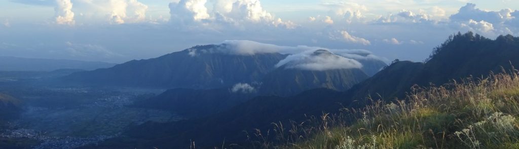
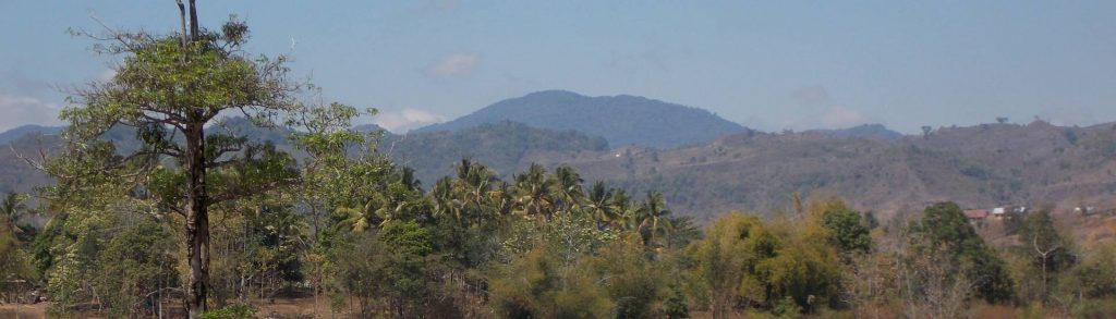
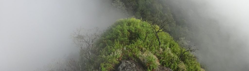
This peak is the highest in a vast forested range in Western Sumbawa and is sometimes climbed by local hikers but remains relatively unknown. There are two main routes to the top, one of which is much easier than the other.
Olet Sangenges / Puncak Ngengas Read More »