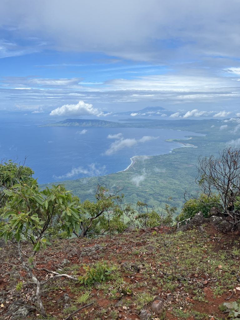
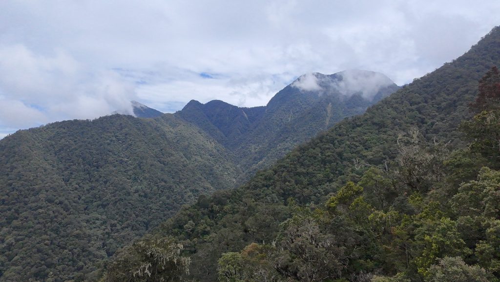
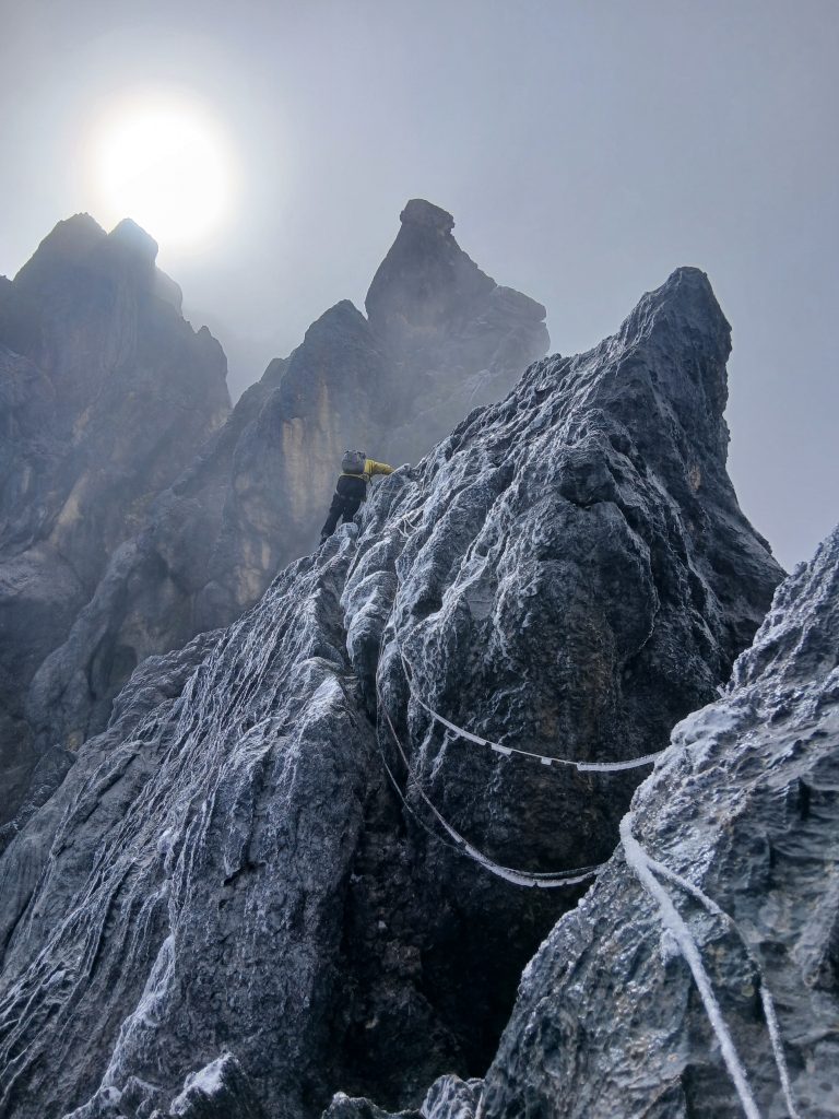
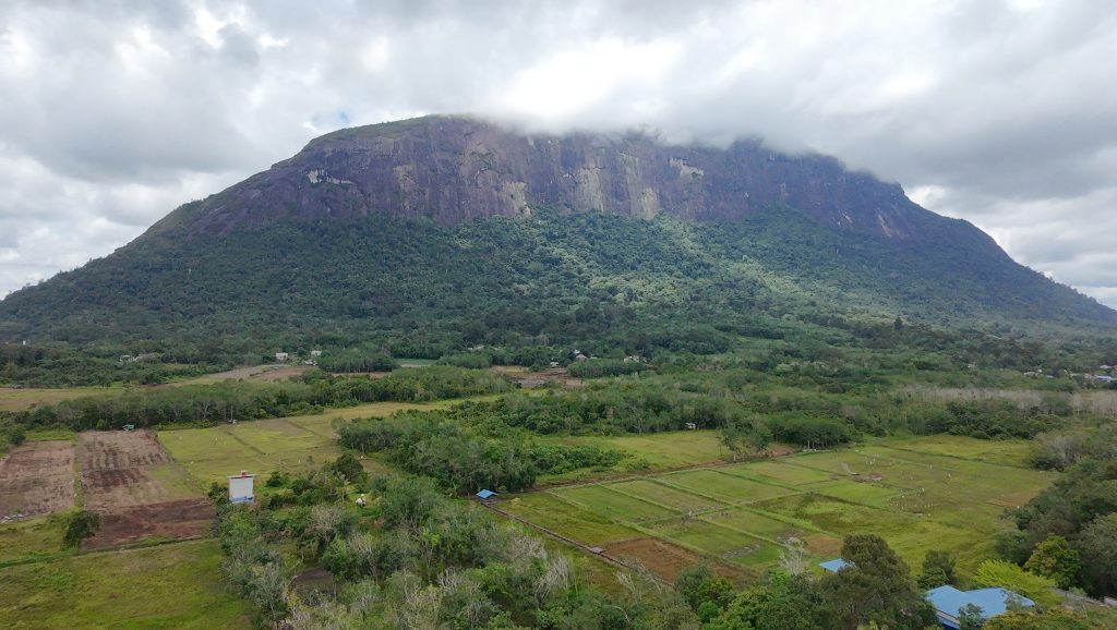
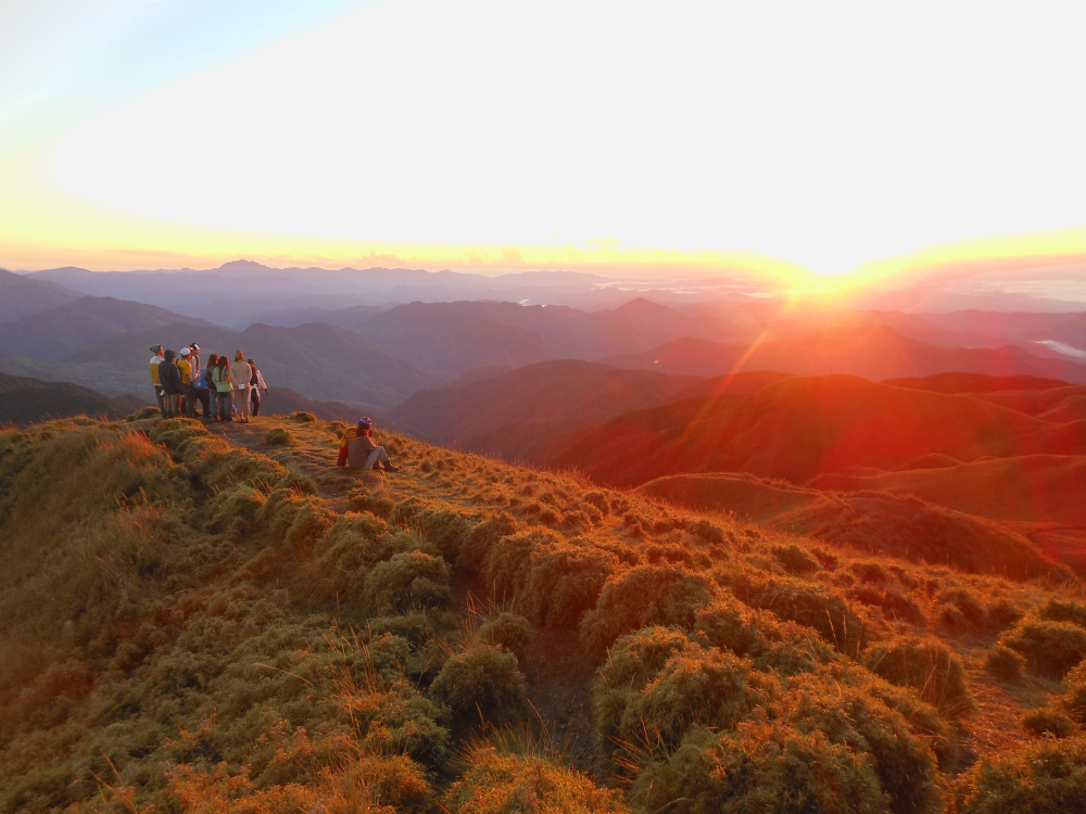
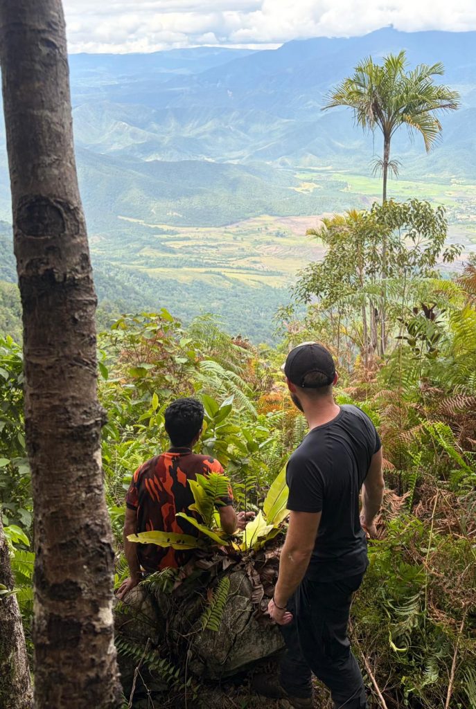
PATUHA
Gunung Patuha is just over 40km from Bandung city. It is the highest peak in the large highland area between the Gede-Pangrango massif and the mountains of Garut. The word ‘patuha’ apparently comes from the words “Pak Tua” (old man).
Facts Elevation: 1,587 m (5,207 ft) Prominence: 1,019 m Ribu category: Kurang Tinggi Province: Papua Barat (West Papua) Google Earth: kml Rating: Other names: none Bagging It! An obscure Ribu in the Charles Louis Range that, like many in Papua, we could not find a more specific name for. Lying on the provincial border with […]
Facts Elevation: 2,173 m (7,129 ft) Prominence: 1,366 m Ribu category: Tinggi Sedang Province: Sumatera Utara (North Sumatra) Google Earth: kml Rating: Other names: none Bagging It! This newly-identified Ribu replaces Sorikmarapi which now (in June 2020) becomes a mere Spesial. Unlike Sorikmarapi, this peak is very obscure and there is very little information […]
Just an hour by car from the city of Semarang is Mount Ungaran. Many people visit the southern slopes of this mountain, not because of the mountain itself but because of the impressive ancient Gedong Songo temple monuments which are scattered across the hillside south of the peak.
Gunung Batu Putih (‘White Rock Mountain’) is very close to being a Ribu and is indeed one of the most significant hikes of the Main Range. According to Malaysian hikers who include Gunung Gayong in their list, it is the eighth-highest in the Malay Peninsula.
Not to be confused with the higher and more frequented (but far less prominent) peak near Gunung Yong Yap and Tok Nenek, this mountain is the highest point of a huge range stretching over twenty kilometres from Taiping in the north to Beruas in the south.
Penanggungan is a particularly revered mountain and has many ancient Hindu temple sites on its slopes – as many as eighty according to Dutch archaeological investigations conducted in the 1930s which were begun after a forest fire uncovered some of the ruins.
Occasionally people email to ask about the huge massif known as Anjasmoro to the west of Arjuno-Welirang. This is a vast and, for Java, wild range. At the time of writing unless you are on the Wonosalam or Rejosari routes you are unlikely to meet any other hiking groups at all, even on weekends!
This increasingly-popular Ribu is the highest peak on the island of Seram and the large range is part of the Manusela National Park. There is a northern and a southern route, and the southern route is becoming the more popular of the two because the trailhead is a little higher up and a return journey can be done in 5 days and 4 nights.
Mount Sindoro is separated from its similarly conical but slightly higher neighbour, Gunung Sumbing, by the Kledung Pass. For its size, Sindoro is an easy hike and would make a great introduction to hiking in Indonesia. From the top there are great views to Sumbing, Merapi, Merbabu, Ungaran, Slamet, Dieng plateau’s high ridge Gunung Prau and the north coast of Java.