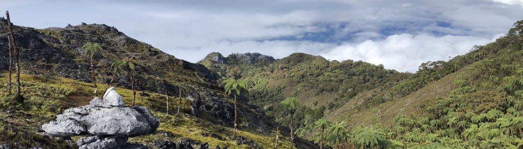
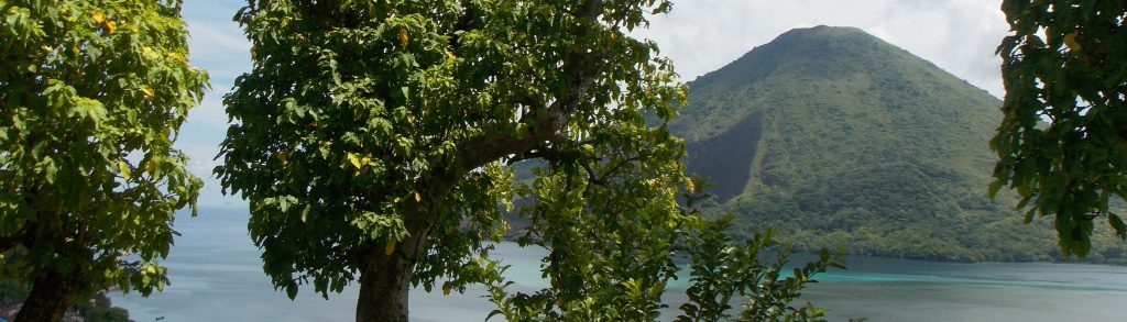
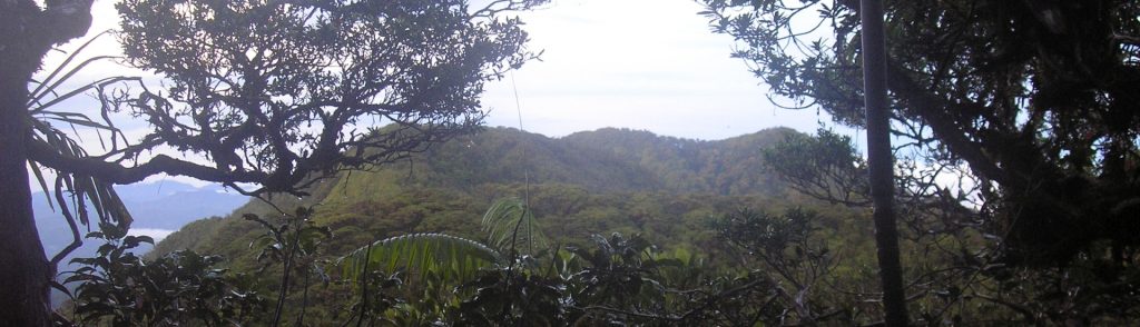
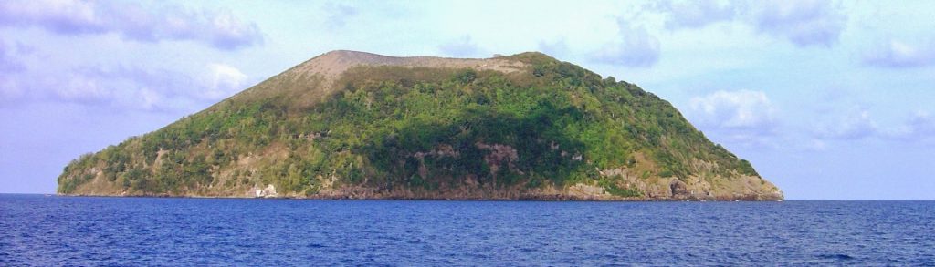
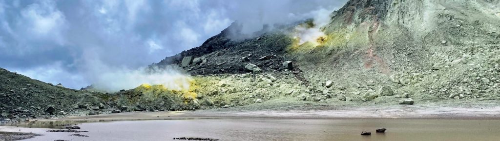
Maluku

Wurlali

Pulau Damar (pronounced locally as “Damer”) is part of the Maluku Barat Daya (“MBD”) archipelago, often referred to as the “forgotten islands” of Indonesia. Damar is a seriously beautiful island dominated by the active volcano Wurlali, whose multiple peaks, dotted with fumaroles and streaked with yellow sulphur, rise above a green blanket of seemingly impenetrable jungle.

Wurlali Read More »

Siel

Facts Elevation: 2,070 m (6,791 ft) Prominence: 997 m Ribu category: Spesial Province: Maluku (Moluccas) Google Earth: kml Rating: Other names: Bagging It! This obscure peak in the centre of Buru island is a borderline Ribu.  Practicalities Getting there: Unknown Accommodation: Unknown Permits: Unknown – take a photocopy of your passport photo page just incase.

Siel Read More »

Binaiya

BINAIYA

This increasingly-popular Ribu is the highest peak on the island of Seram and the large range is part of the Manusela National Park. There is a northern and a southern route, and the southern route is becoming the more popular of the two because the trailhead is a little higher up and a return journey can be done in 5 days and 4 nights.

Binaiya Read More »

Banda Api

BANDA API

Banda Api is a small but very active island volcano in the remote Banda islands. It has been observed and written about for centuries since it was a key location for the trading of spice when the British, Dutch and Portuguese sought the vast quantities of nutmeg on these islands – particularly Run / Rhun island. The last major eruption was in 1988 but there remains minor fumarole activity near the summit.

Banda Api Read More »

Toplana (Totaniwel)

Facts Elevation: 1,334 m (4,377 ft) Prominence: 1,034 m Ribu category: Kurang Tinggi Province: Maluku (Moluccas) Google Earth: kml Rating: Other names: none Bagging It! We know very little about this peak. Please contact us if you can provide any information. Practicalities Getting there: Unknown Accommodation: Unknown Permits: Unknown – take a photocopy of your

Toplana (Totaniwel) Read More »

Salahutu

Facts Elevation: 1,038 m (3,406 ft) Prominence: 1,038 m Ribu category: Kurang Tinggi Province: Maluku (Moluccas) Google Earth: kml Rating: Other names: the highest peak in the range may have a different name Photos Bagging It! The Salahutu mountains are the highest peaks of Ambon island, with two over 1000 metres high. Although that does

Salahutu Read More »

Kapalatmada

Facts Elevation: 2,700 m (8,858 ft) Prominence: 2,700 m Ribu category: Tinggi Sedang Province: Maluku (Moluccas) Google Earth: kml Rating: Other names: Kaplamada, Kapalamadan, Kepala Madan Bagging It! This Ribu is the highest point of Buru island. Almost certainly not climbed in recent decades. The name may even be incorrect – there is another high

Kapalatmada Read More »

Manuk

Facts Elevation: 282 m (925 ft) Prominence: 282 m Ribu category: Spesial Province: Maluku (Moluccas) Google Earth: kml Rating: Other names: none Photos Bagging It! The small steep-sided island of Manuk is the easternmost volcano in the arcuate Banda volcanic arc. The 282-m-high truncated andesitic cone rises 3000 m from the sea floor. No confirmed

Manuk Read More »

Laworkawra

Facts Elevation: 781 m (2,562 ft) Prominence: 781 m Ribu category: Spesial Province: Maluku (Moluccas) Google Earth: kml Rating: Other names: Nila Eruptions: 1903, 1932, 1964, 1968 Photos Bagging It! The 5 x 6 km Nila Island in the Banda Sea is comprised of a low-rimmed caldera whose rim is breached at sea level on

Laworkawra Read More »

Serawerna

Facts Elevation: 655 m (2,149 ft) Prominence: 655 m Ribu category: Spesial Province: Maluku (Moluccas) Google Earth: kml Rating: Other names: Teon, Teun Eruptions: 1659-60, 1663, 1693, 1904 Bagging It! Teon, an elongated island in the southwestern Banda arc, is also known as Serawerna, the name of its active crater. Another smaller crater is located

Serawerna Read More »

Scroll to Top