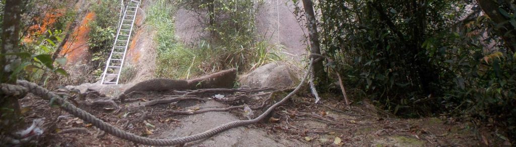
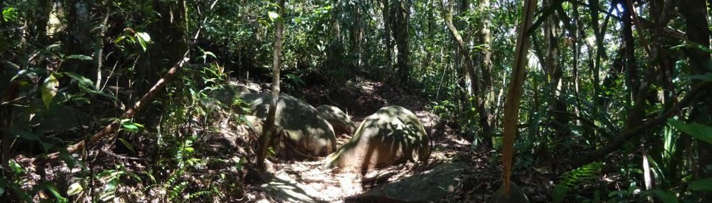
Kurang Tinggi

Gunung Kiematubu

The island of Tidore consists mostly of this now dormant volcano and many people still refer to it as Mount Tidore or Gunung Tidore. Kiematubu is featured on the Rp 1000 bank note and is a beautiful symmetrical cone shape especially when seen from Ternate island. Interestingly, it is slightly higher than Ternate’s legendary Gamalama volcano yet easier to climb due to the higher trailhead.

Gunung Kiematubu Read More »

Pulau Obi

Facts Elevation: 1,611 m (5,285 ft) Prominence: 1,611 m Ribu category:  Kurang Tinggi Province:  Maluku Utara (North Moluccas) Coordinates: -1.5381, 127.6687 Rating: World Ribus ID: 69068 Photos Bagging It! The highest point of the island of Obi – although it surely has a separate name of its own. The island lies to the south of the larger

Pulau Obi Read More »

Kumawa

Facts Elevation: 1,680 m (5,512 ft) Prominence: 1,636 m Ribu category:  Kurang Tinggi Region:  Papua Barat (West Papua) Coordinates: -3.9152, 133.0108 Rating: World Ribus ID: 80027 Bagging It! We currently know very little about this peak – please contact us if you can provide any information.

Kumawa Read More »

Mount Ophir / Gunung Ledang

OPHIR / LEDANG

Mount Ophir – also known as Gunung Ledang – is the highest peak in Johor and the only Ribu on the Malay Peninsula south of Kuala Lumpur. It is rather popular with Singaporean hikers who visit over the weekend or even do a very long day-trip from Singapore. It is located in the Gunung Ledang National Park which is near the town of Tangkak and less than one hour from Melaka.

Mount Ophir / Gunung Ledang Read More »

Gunung Sawal – Karantenan

Facts Elevation: 1,764 m (5,787 ft) Prominence: 1,041 m Ribu category:  Kurang Tinggi Province:  Jawa Barat (West Java) Coordinates: -7.1892, 108.2717 Rating: World Ribus ID: 69199 Photos Bagging It! Gunung Sawal is a large mountain range of modest height at least as popular with wildlife researchers and pilgrims as with ordinary hikers. There is a population of

Gunung Sawal – Karantenan Read More »

Gunung Lewotobi

This spectacular volcano is a ‘husband and wife couple’ comprised of Lewotobi Perempuan (‘female’, 1703 metres) and Lewotobi Laki-laki (‘male’, 1584 metres). The peaks are often active – most eruptions have been from the Laki-laki vent, most recently in 2003, but seismic activity and minor volcanic emissions are common from both.

Gunung Lewotobi Read More »

Keli Lepembusu

Facts Elevation: 1,754 m (5,755 ft) Prominence: 1,250 m Ribu category:  Kurang Tinggi Province:  Nusa Tenggara Timur Island: Flores Coordinates: -8.6727, 121.8111 Rating: World Ribus ID: 69126 Photos Bagging It! Keli Lepembusu is a few metres higher than nearby Gunung Kelimutu, whose famous three crater lakes of different colours are one of the main tourist attraction on

Keli Lepembusu Read More »

Gunung Kongpas

Facts Elevation: 1,516 m (4,974 ft) Prominence: 1,139 m Ribu category:  Kurang Tinggi Province:  Kalimantan Timur (East Kalimantan) Coordinates: 2.0533, 116.6325 Rating: Other names: Guguang, Gay World Ribus ID: 69159 Photos Bagging It! According to Nepenthes expert Alastair Robinson, the mountain is ‘called Gunung Guguang or Gunung Gay depending on who you talk to. There are two adjacent

Gunung Kongpas Read More »

Scroll to Top