Bukit Larut – Gunung Hijau
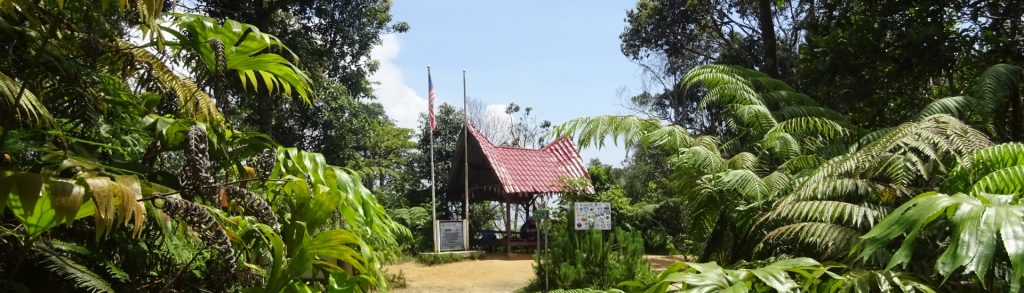
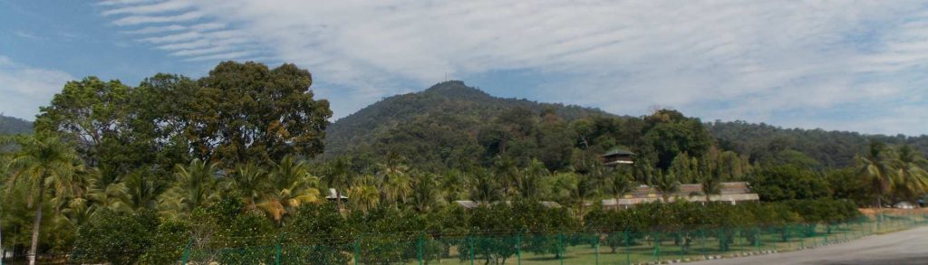
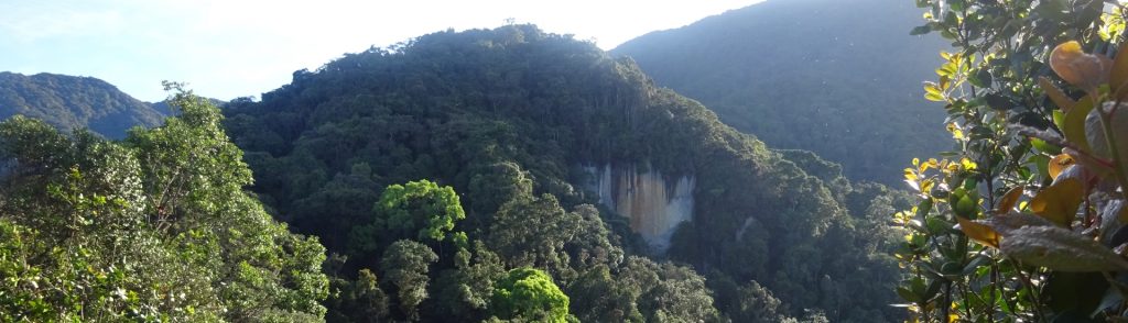
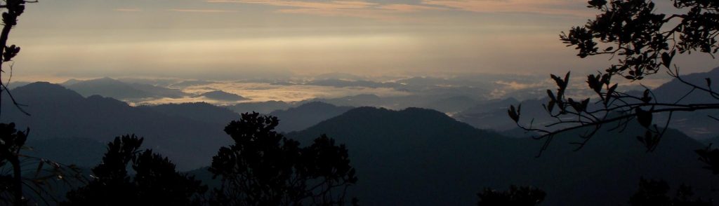
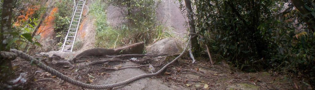
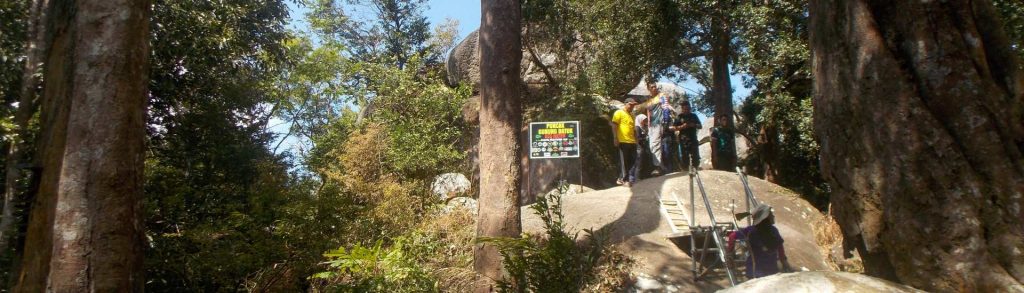
Facts Elevation: 1,448 m (4,751 ft) Prominence: 892 m Peak category: Spesial Region: Peninsular Malaysia Malaysian state: Perak Range: Banjaran Bintang Coordinates: 4.8591, 100.8154 Rating: Other names: Formerly known as ‘Maxwell Hill’. Photos Bagging It! Bukit Larut – or Maxwell Hill, as it was originally known – was founded by the British as a hill station at […]
Bukit Larut – Gunung Hijau Read More »