Gunung Dukono
GUNUNG DUKONO
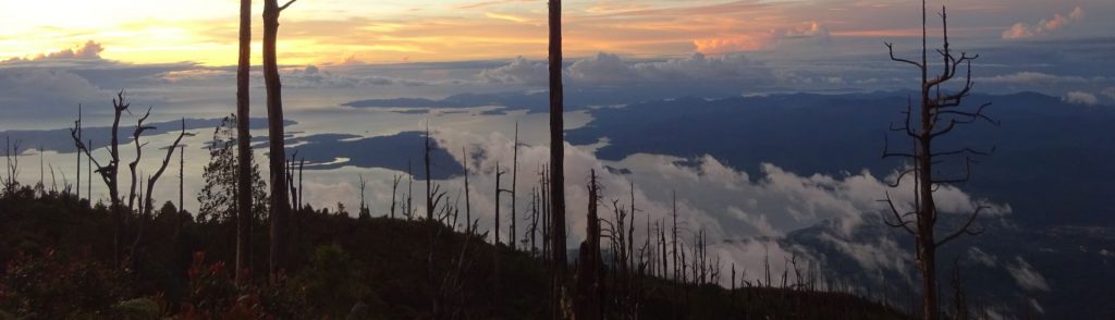
Gunung Dukono is the northern-most volcano in the chain of volcanoes along the western side of Halmahera – from the south, Jailolo, Uno-Ranu, Gamkonora, Ibu, Dukono – and one of the most persistently active in Indonesia. Since 1933, the mountain has been erupting almost continuously.