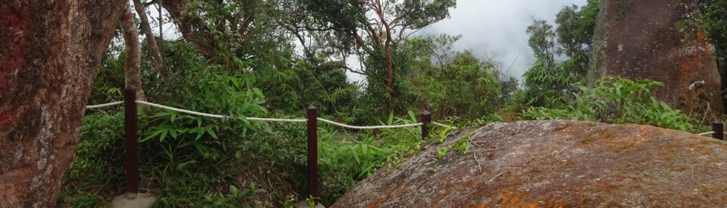
Peninsular Malaysia

Ulu Bakar

Facts Elevation: 1,391 m (4,564 ft) Prominence: 1,029 m Ribu category: Kurang Tinggi Province: Peninsular Malaysia Malaysian state: Pahang Range: Banjaran Pantai Timur Google Earth: kml Rating: Other names: Gunung Palas Bagging It! Not much is known about this mountain at present though it has been hiked on a small number of occasions including in […]

Ulu Bakar Read More »

Ulu Soh

Facts Elevation: 1,324 m (4,344 ft) Prominence: 1,090 m Ribu category: Kurang Tinggi Province: Peninsular Malaysia Malaysian state: Perak Google Earth: kml Rating: Other names: none. Bagging It! Not much is known about this mountain at present. Featured Guides If you are a reliable local guide and would like to be featured on this page

Ulu Soh Read More »

Benum

Facts Bagging It! Gunung Benum is a huge mountain massif all of its own, quite separate from other ranges. Despite only being around 3 hours from Kuala Lumpur, Benum doesn’t see as many hikers as might be expected. It can be hiked from Lata Berembun (Sungai Klau near Raub) in 2/3 days or Ulu Cheka

Benum Read More »

Korbu

Facts Elevation: 2,183 m (7,162 ft) Prominence: 1,993 m Ribu category: Tinggi Sedang Province: Peninsular Malaysia Malaysian state: Perak Range: Banjaran Titiwangsa / Main Range Google Earth: kml Rating: Other names: The traditional name is Gunung Riam. Photos Bagging It! At 2,183m, Gunung Korbu is the highest peak in the Titiwangsa range and also the

Korbu Read More »

Besar Endau-Rompin

Facts Elevation: 1,036 m (3,399 ft) Prominence: 986 m Ribu category: Spesial Province: Peninsular Malaysia Malaysian state: on the border of Pahang and Johor Google Earth: kml Rating: Other names: none. Bagging It! This pleasant National Park is named after the two rivers in the region. There is plenty of information available on the Endau Rompin

Besar Endau-Rompin Read More »

Chemerong Peak

Facts Elevation: 1,571 m (5,154 ft) Prominence: 1,334 m Ribu category: Kurang Tinggi Province: Peninsular Malaysia Malaysian state: Terengganu Range: Banjaran Pantai Timur Google Earth: kml Rating: Other names: Teranu Indah Abadi Bagging It! Very little is known about this peak and the temporary name reflects that. The closest peak that is definitely hiked is

Chemerong Peak Read More »

Ulu Sepat

Facts Elevation: 2,161 m (7,090 ft) Prominence: 775 m Ribu category: Spesial Province: Peninsular Malaysia Malaysian state: on the border of Kelantan and Perak Range: Banjaran Titiwangsa / Main Range Google Earth: kml Rating: Other names: Hulu Sepat Bagging It! This mountain is rather remote and is located in Hutan Belum. Orang Asli villages are common

Ulu Sepat Read More »

Semangkok

Facts Elevation: 1,825 m (5,988 ft) Prominence: 623 m Ribu category: Spesial Province: Peninsular Malaysia Malaysian state: on the border of Selangor and Pahang Range: Banjaran Titiwangsa / Main Range Google Earth kml Rating: Other names: Sometimes spelt ‘Semangkuk’ or ‘Semangko’. Photos Bagging It! Despite Semangkok’s relatively modest elevation, and the relatively high starting point (approximately

Semangkok Read More »

Chamah

Facts Elevation: 2,171 m (7,123 ft) Prominence: 1,041 m Ribu category: Tinggi Sedang Province: Peninsular Malaysia Malaysian state: Kelantan Range: Banjaran Titiwangsa / Main Range Google Earth: kml Rating: Other names: none. Bagging It! From the trailhead at Pos Simpoh (820m) to Kampung Rekom (910m, an Orang Asli village) takes 4 hours, a further one

Chamah Read More »

Lawit Terengganu

Facts Elevation: 1,519 m (4,984 ft) Prominence: 1,292 m Ribu category: Kurang Tinggi Province: Peninsular Malaysia Malaysian state: Terengganu Range: Banjaran Pantai Timur Google Earth: kml Rating: Other names: none. Bagging It! Surprisingly little information is available on this mountain. It has been a hiked on a small number of occasions including in 2023, always

Lawit Terengganu Read More »

Scroll to Top