Gunung Bujang Melaka
BUJANG MELAKA
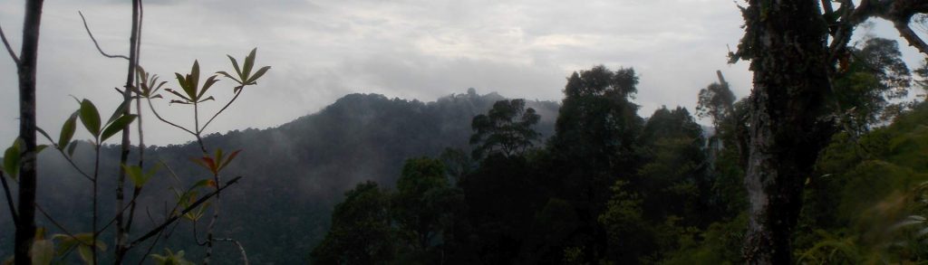
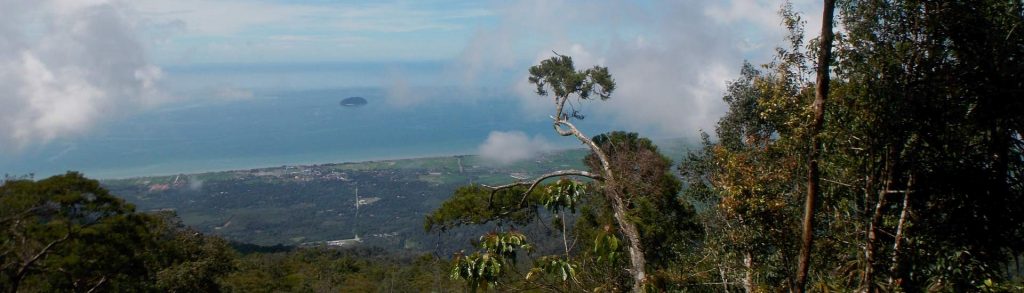
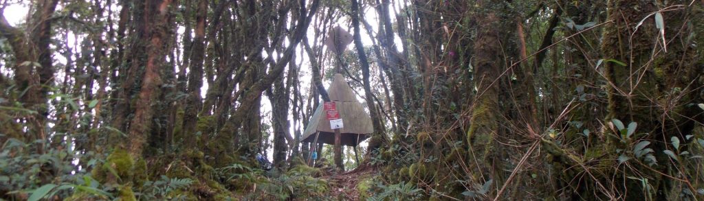
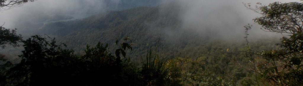
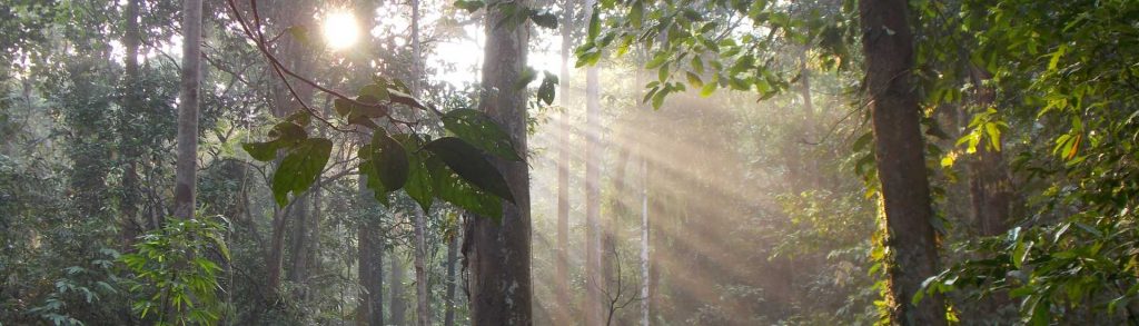
Gunung Bujang Melaka is a small mountain lying just to the west of the Banjaran Titiwangsa (or Main Range), separate enough to be a Ribu in its own right and accessible enough from the road and nearby train station at Kampar at the western side to be quite possible as a day hike.
Gunung Bujang Melaka Read More »