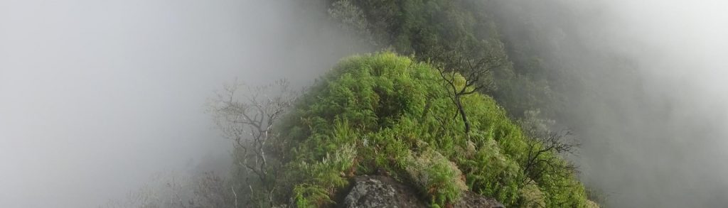
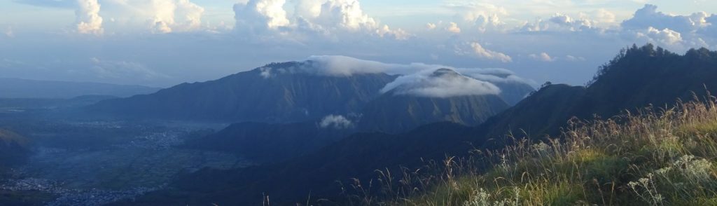
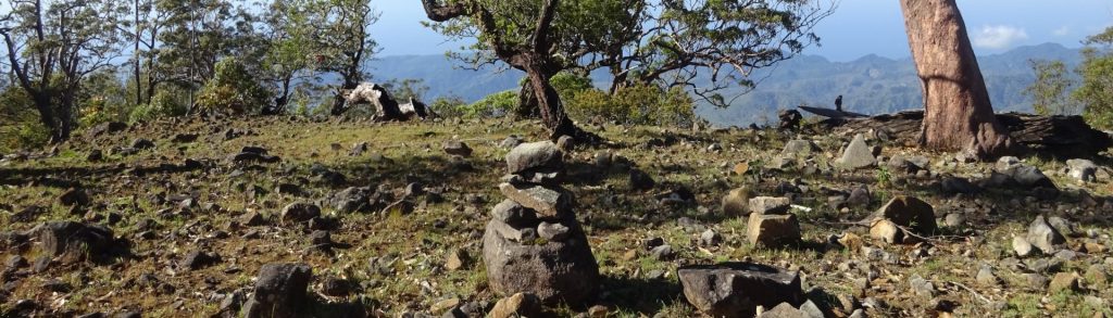
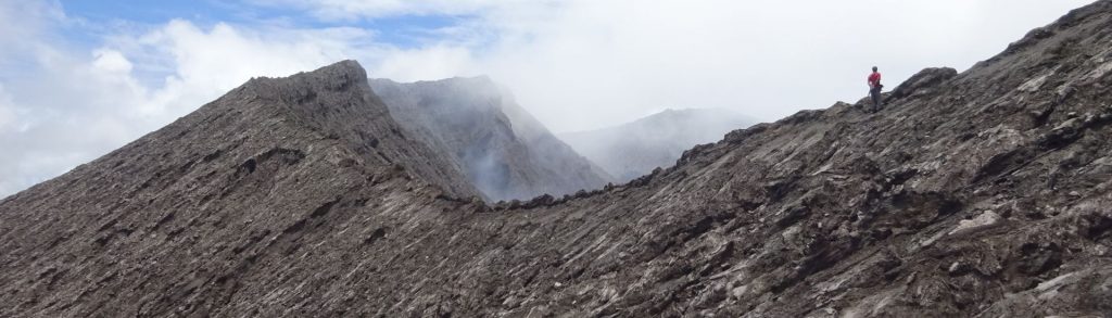
Author name: Dan

Gunung Sirung – Kukka Taupekki

GUNUNG SIRUNG

Gunung Sirung is one of the less visited volcanoes of Indonesia, but one of the most fascinating. The very same could be said of the entire island of Pantar itself, though in 2021 there is a small new airport operating regional flights. Perhaps the most mystical island in a very mystical nation, it is difficult to visit even for a day or two without having some very thought-provoking incidents!

Gunung Sirung – Kukka Taupekki Read More »

Bukit Silam

Facts Elevation: 884 m (2,900 ft) Prominence: 656 m Peak category:  Spesial Region:  Sabah Division: Bahagian Tawau Coordinates: 4.9590, 118.1676 Rating: Photos Bagging It! Bukit Silam (Silam Hill) is a small but relatively prominent peak on the north-east coast of Borneo overlooking Darvel Bay. It is quite isolated from other mountains and makes for a good half-day

Bukit Silam Read More »

Gunung Sempana

GUNUNG SEMPANA

Given their close proximity to the huge Gunung Rinjani, the grassy mountains to the east of Sembalun are easy to overlook. However, these pleasant ridges provide some outstanding views to both Rinjani and eastwards to the ocean and the island of Sumbawa and are well worth a hike in their own right.

Gunung Sempana Read More »

Dola Koyakoya

DOLA KOYAKOYA

Dola Koyakoya is the highest point of Alor island and is the last major peak in the island chain east of Java running all the way from Bali to Timor Leste (East Timor). It is home to a large number of deer and, like many of the highest hills from Lembata island eastwards, the higher slopes are incredibly scenic eucalyptus forest with plenty of distant views and reasonably easy walking.

Dola Koyakoya Read More »

Bulu Torenali

Facts Elevation: 2,526 m (8,287 ft) Prominence: 927 m Peak category:  Spesial Province:  Sulawesi Tengah (Central Sulawesi) Coordinates: -1.2758, 120.3093 Rating: Photos Bagging It! This mountain is the highest peak on a large range which includes the more well-known Gunung Rore Kautimbu (c2,400m). The trail starts about 1 kilometre north of the popular Telaga Tambing (Lake Tambing)

Bulu Torenali Read More »

Gunung Dukono

GUNUNG DUKONO

Gunung Dukono is the northern-most volcano in the chain of volcanoes along the western side of Halmahera – from the south, Jailolo, Uno-Ranu, Gamkonora, Ibu, Dukono – and one of the most persistently active in Indonesia. Since 1933, the mountain has been erupting almost continuously.

Gunung Dukono Read More »

Gunung Tambuyukon

Facts Elevation: 2,579 m (8,461 ft) Prominence: 844 m Peak category:  Spesial Region:  Sabah Range: Banjaran Crocker Division: Bahagian Pantai Barat Coordinates: 6.2039, 116.6597 Rating: Photos Bagging It! Tambuyukon is regarded by many hikers as the fourth-highest mountain in Borneo (and in Malaysia, and in Sabah!), but it is dwarfed by the huge Kinabalu which is in

Gunung Tambuyukon Read More »

Scroll to Top