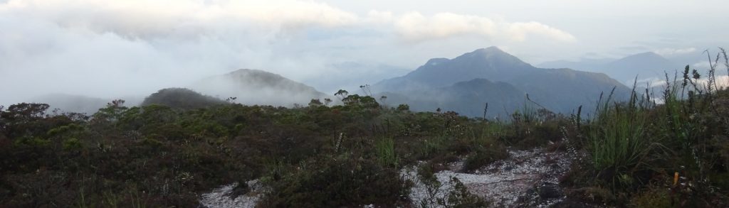
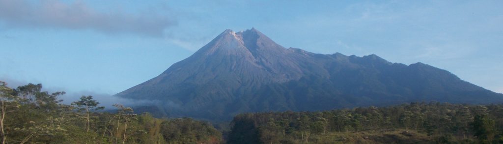
Tinggi Sedang

Bulu Torompupu

Facts Elevation: 2,495 m (8,186 ft) Prominence: 1,681 m Ribu category:  Tinggi Sedang Province:  Sulawesi Tengah (Central Sulawesi) Coordinates: -1.4248, 119.8563 Rating: Other names: Lompopana World Ribus ID: 69059 Bagging It! We currently know very little about this peak – please contact us if you can provide any information.

Bulu Torompupu Read More »

Gunung Kerihun

Facts Elevation: 2,005 m (6,578 ft) Prominence: 1,140 m Ribu category:  Tinggi Sedang Province:  Kalimantan Barat (West Kalimantan) Coordinates: 1.0354, 113.8895 Rating: World Ribus ID: 69158 Bagging It! This is the highest point in West Kalimantan (assuming you count Bukit Raya as being in Central Kalimantan), and is part of the Betung Kerihun National Park. Pretty remote

Gunung Kerihun Read More »

Gunung Kulabu

Facts Elevation: 2,173 m (7,129 ft) Prominence: 1,366 m Ribu category:  Tinggi Sedang Province:  Sumatera Utara (North Sumatra) Coordinates: 0.4717, 99.8975 Rating: World Ribus ID: 69103    Bagging It! This newly-identified Ribu replaces Sorikmarapi which now (in June 2020) becomes a mere Spesial. Unlike Sorikmarapi, this peak is very obscure and there is very little information to

Gunung Kulabu Read More »

Gunung Sibuatan

Facts Elevation: 2,457 m (8,061 ft) Prominence: 1,800 m Ribu category:  Tinggi Sedang Province:  Sumatera Utara (North Sumatra) Coordinates: 2.9183, 98.4235 Rating: Other names: Sibuaten World Ribus ID: 69047 Photos Bagging It! This Ribu is the highest in North Sumatra, and overlooks the northern end of Lake Toba. It could be considered the highest point of the

Gunung Sibuatan Read More »

Gunung Tahan

TAHAN

At 2,187m, Gunung Tahan is the highest peak in Peninsular Malaysia and is located in the Taman Negara National Park. It is also the highest peak in the Tenasserim Hills chain (Banjaran Tanah Seri), a 1,700 kilometre-long granite ridge older than the Himalayas which runs all the way down from mid-Thailand to southern Peninsular Malaysia.

Gunung Tahan Read More »

Gunung Merapi

MERAPI

This Ribu is the most active volcano in Indonesia. Its name literally means mountain of fire and it is one of the world’s 16 Decade Volcanoes. It can therefore be very dangerous indeed. There was a major eruption in 2006 but nothing on the scale of what happened in October and November 2010 when a series of devastating eruptions killed over 300 people across a radius of almost 20km from the crater.

Gunung Merapi Read More »

Gunung Pangulubao

Facts Elevation: 2,215 m (7,267 ft) Prominence: 1,031 m Ribu category:  Tinggi Sedang Province:  Sumatera Utara (North Sumatra) Coordinates: 2.5899, 99.0792 Rating: Other names: Bukit Manja World Ribus ID: 69204 Photos Bagging It! Pangulubao is one of North Sumatra’s most accessible mountains and makes an excellent day hike. The trail makes its way through verdant broadleaf, pine,

Gunung Pangulubao Read More »

Dolok Nabibong

Facts Elevation: 2,015 m (6,611 ft) Prominence: 1,010 m Ribu category:  Tinggi Sedang Province:  Sumatera Utara (North Sumatra) Coordinates: 1.7517, 99.3858 Rating: Other names: Dolok Tampulonanjing is 2km north-east World Ribus ID: 69216 Bagging It! This is a very remote and undiscovered borderline Ribu. Dolok Tampulonanjing is 2km north-east, and may be more known in the local

Dolok Nabibong Read More »

Gunung Trusmadi

Facts Elevation: 2,643 m (8,671 ft) Prominence: 1,702 m Ribu category:  Tinggi Sedang Region:  Sabah Range: Banjaran Trus Madi Division: Bahagian Pedalaman Coordinates: 5.5530, 116.5166 Rating: Other names: Trus Madi (two words) World Ribus ID: 69058 Photos Bagging It! Trusmadi is the second highest peak in both the island of Borneo and the country of Malaysia (after

Gunung Trusmadi Read More »

Scroll to Top