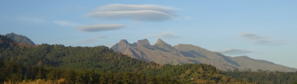
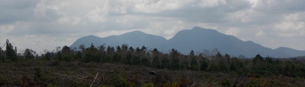
Spesial

Gunung Santubong

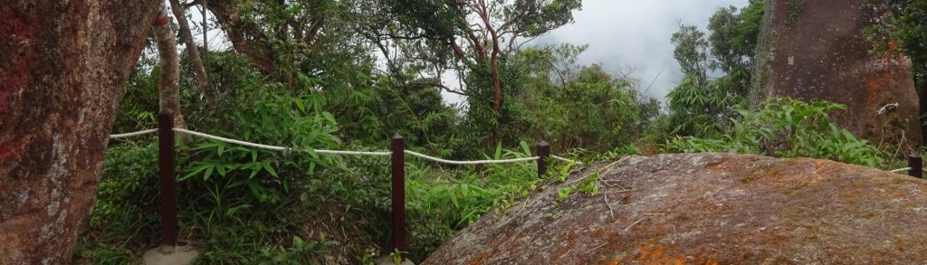
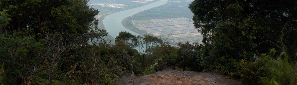
Facts Elevation: 850 m (2,789 ft) Prominence: 850 m Peak category:  Spesial Region:  Sarawak Division: Bahagian Kuching Coordinates: 1.7367, 110.3333 Rating: Photos Bagging It! For hikers spending a few days in the Kuching area, Gunung Santubong is a great half-day out, and even closer to Kuching city itself than Penrissen, for example. It is a very steep […]

Gunung Santubong Read More »

Bukit Teraja

Facts Elevation: 412 m (1,352 ft) Prominence: 332 m Peak category:  Spesial Region: Brunei Coordinates: 4.3055, 114.4347 Rating: Other names: Mount Scott Bagging It! Bukit Teraja is probably the best out of a fairly small number of trekking options in Brunei. A half-day outing, but a full day from Bandar Seri Begawan and back given the

Bukit Teraja Read More »

Gunung Anjasmoro

ANJASMORO

Occasionally people email to ask about the huge massif known as Anjasmoro to the west of Arjuno-Welirang. This is a vast and, for Java, wild range. At the time of writing unless you are on the Wonosalam or Rejosari routes you are unlikely to meet any other hiking groups at all, even on weekends!

Gunung Anjasmoro Read More »

Gunung Tajam

TAJAM

Gunung Tajam is the highest mountain range on the pleasant island of Belitung. Just as on neighbouring Bangka island, there are two peaks of very similar height in the range. However, they can both easily be bagged in half a day from the capital of Tanjung Pandan and nearby beach resorts.

Gunung Tajam Read More »

Gunung Belumut

BELUMUT

Gunung Belumut is Peninsular Malaysia’s southernmost peak over 1,000 metres and is therefore arguably the closest excellent day-hike for hikers living in Singapore. It is located in the Hutan Lipur Gunung Lumut (Mount Belumut Recreational Forest) around 30 minutes by car from the pleasant town of Kluang.

Gunung Belumut Read More »

Núi Bà Đen

Facts Elevation: 986 m (3,235 ft) Prominence: 962 m Peak category:  Spesial Region:  Southern Vietnam Coordinates: 11.3821, 106.1701 Rating: Bagging It! Núi Bà Đen stands at approximately 986 m elevation making it a topographical landmark in the Mekong Delta region. It is heavily visited because access is mostly via easy hiking trails or cable car rather than technical

Núi Bà Đen Read More »

Núi Chua

Facts Elevation: 1,375 m (4,511 ft) Prominence: 986 m Peak category:  Spesial Region:  Central Vietnam Coordinates: 15.3293, 108.5348 Rating: Bagging It! Unknown at present although some photos do exist of local hikers at or near the top. Practicalities Getting there: Unknown at present. Permits: Unknown at present. Water sources: Unknown at present. Local Average Monthly Rainfall (in

Núi Chua Read More »

Tiou Ki Tem Dar

Facts Elevation: 1,500 m (4,921 ft) Prominence: 987 m Peak category:  Spesial Region:  Central Vietnam Coordinates: 14.2483, 107.6283 Rating: Bagging It! Unknown at present. Practicalities Getting there: Unknown at present. Permits: Unknown at present. Water sources: Unknown at present. Local Average Monthly Rainfall (in Danang) Location   Click on the blue arrow (top right) to see your

Tiou Ki Tem Dar Read More »

Scroll to Top