
Facts
- Elevation: 412 m (1,352 ft)
- Prominence: 332 m
- Peak category:
 Spesial
 - Region:
 Brunei
 - Coordinates: 4.3055, 114.4347
- Rating:
 (1 votes) Add your rating
 Loading...
 - Other names: Mount Scott
Bagging It!
Bukit Teraja is probably the best out of a fairly small number of trekking options in Brunei. A half-day outing, but a full day from Bandar Seri Begawan and back given the distance, there’s a wooden ladder and some views at the top. The trailhead appears to be on the main road south of Mendaram Kechil and Wasai Wong Kadir Recreational Park, though there looks to be a wide track up to the top from Wong Kadir (popular locally for its waterfall).
Practicalities
-
- Getting there: Around 120km from Bandar Seri Begawan to the foot of the hill.
-
- Permits: Unknown
-
- Water sources: Unknown – take plenty of bottled drinks with you.
Local Average Monthly Rainfall in Brunei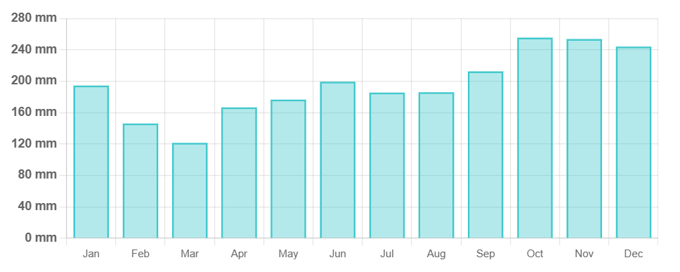
Location
Click on the blue arrow ![]() (top right) to see your current location on the map
(top right) to see your current location on the map
Origins and Meaning
It appears to be named after a local river, Sungai Teraja.
Bukit Teraja is the high point of Belait District in Brunei and the highest point entirely within the borders of the western part of Brunei (excluding the exclave of Temburong). It is a fairly indistinct peak on a very prominent sandstone thrust ridge in the Labi Forest Reserve.
Officially, prior permission is required from the Forestry Department to access the reserve, but in practice there is little to no enforcement and visitors who are clearly there for leisure purposes (as opposed to poaching or cross-border smuggling) are tolerated. This could of course be subject to change and officially one is trespassing without having secured the correct permissions.
There are multiple approaches to the Teraja Ridge, the most obvious is an abandoned and partly destroyed paved road (starting at 4.341830, 114.443599) running almost to the peak of Bukit Teraja. However, the road is overgrown in places, generally exposed to sunshine and passes through a degraded landscape, and so is not recommended.
The most direct ascent is from close to the 5 km marker on Labi Road (5 km from the end of the road). The entrance to the jungle is marked by a rusted metal post and is not easy to see. For the first few metres the trail is indistinct but soon becomes a reasonably clear trail (with occasional marker tags on trees) which ascends steeply through beautiful forest. After perhaps an hour the trail reaches a perpendicular ridge where one turns right. This runs along the uppermost part of the paved road, joining it for around 200 metres before reaching the abandoned building at the end of the road. From here a trail heads east and climbs to the Teraja Ridge, taking maybe 15 or 20 minutes from the abandoned building. On the Teraja Ridge, one turns right (south) to reach Bukit Teraja, however there is a manned ranger station here, a helipad and a geophysical recording station. There is also no view from this spot unless the trees have recently been cut.
If one instead turns left (north) when reaching the ridge, there is soon an excellent viewpoint with views across a large swath of untouched jungle (Brunei) to the peaks of Mulu in Sarawak. In the opposite direction, one looks out across the peat swamp and Kerangas forest towards Miri/Marudi, where a subtle change in colour and texture of the landscape marks the transition to oil palm plantations in Sarawak. The Bahram River and Lambir Hills are visible. This ridge can be followed for a beautiful jungle walk of around six kilometres with occasional glimpsed views across the jungle. Numerous trails braid off this, deeper into the jungle to waterfalls on the Rampayoh River, and there is also a steep descent back to the road. However, local knowledge is required to find any of these trails.
An alternative route starts at the 1 km marker on Labi Road, climbing steeply to a (usually abandoned) army training camp and helipad (the latter is visible on satellite maps). Walking eastwards across this camp one crosses a stream and then climbs very steeply up to the southern edge of the Teraja Ridge, with excellent glimpsed views across the jungle to Mulu in Sarawak. Following the ridge northwards brings one to the geophysical station mentioned above.