Gunung Kajang
KAJANG
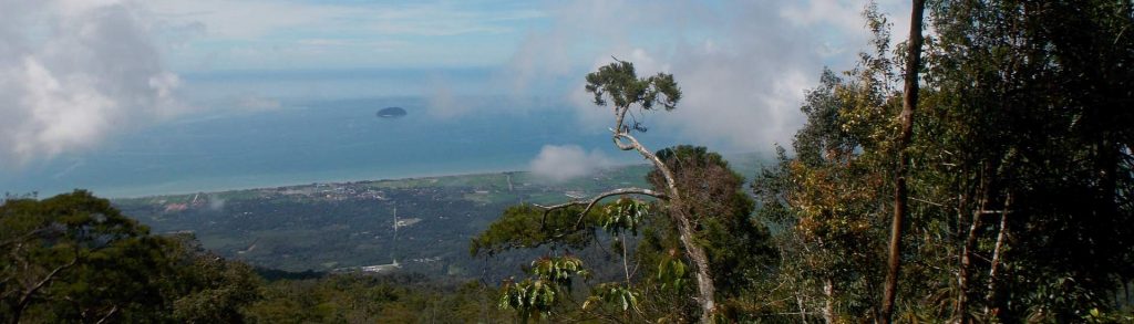
Tioman is the only significantly mountainous island of several scattered off Peninsular Malaysia’s east coast. Despite being a popular holiday island, the forest remains very wild and is home to some endemic species. Most visitors to Tioman get their first view of the island’s peaks from the boat over from Mersing.