
Puncak Jaya – Carstensz Pyramid
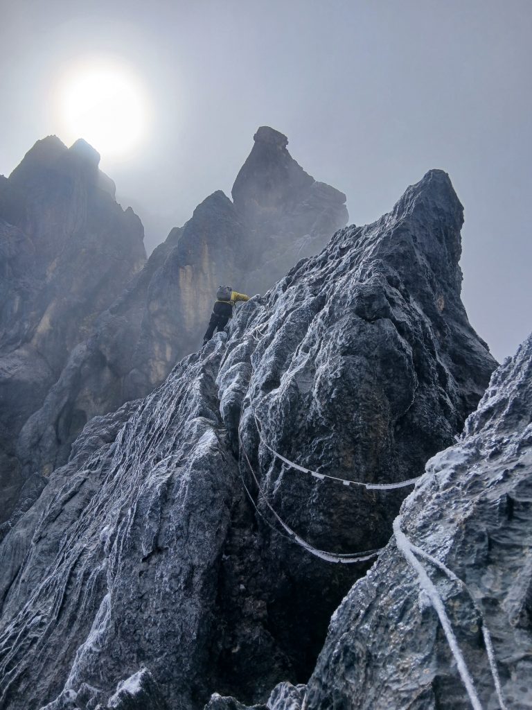
Facts Elevation: 4,884 m (16,024 ft) Prominence: 4,884 m Ribu category: Sangat Tinggi Region: Papua Coordinates: -4.0789, 137.1595 Rating: Other names: Carstensz Toppen, Jaya Kesuma, Nemangkawi, Gunung Sukarno World Ribus ID: 80001 Photos Bagging It! This Ribu is the highest point of the huge Sudirman Range, the highest mountain in Indonesia, the highest peak on an island […]
Puncak Jaya – Carstensz Pyramid Read More »