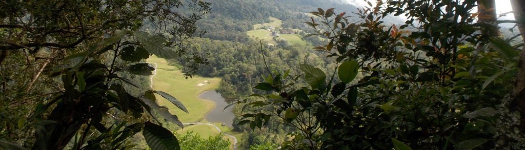
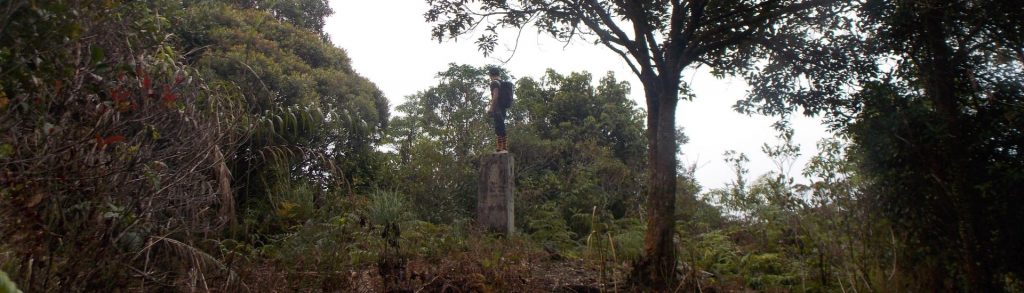
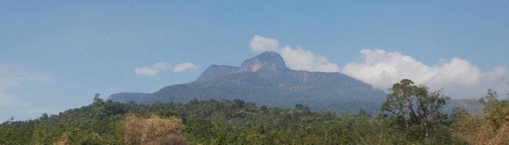
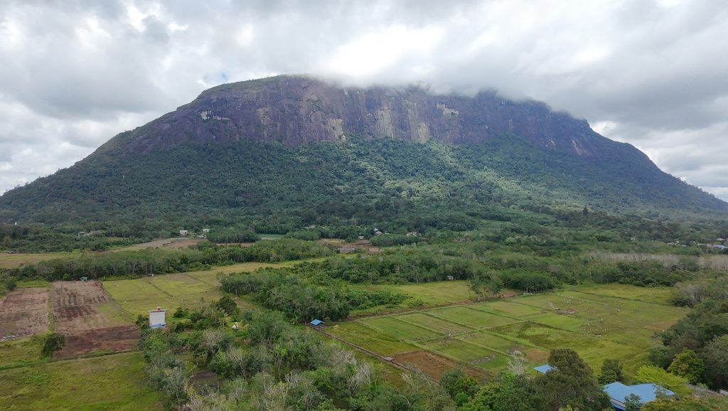
Kalimantan Barat

Bukit Kelam

Gunung Kelam is a huge granite dome near Sintang in central West Kalimantan province famous for its pitcher plants. It was first written about by German botanist Johannes Gottfried Hallier in 1894. Everyone has heard of the mighty Ayers Rock in Australia. But if Gunung Kelam can be considered one huge rock, then West Kalimantan is home to what just might be the largest rock on the planet.

Bukit Kelam Read More »

Gunung Penrissen

PENRISSEN

Mount Penrissen is on the Indonesia-Malaysia border (West Kalimantan and Sarawak) and is the highest peak of a large mountainous area south and south-west of Kuching. It is most commonly accessed via the Borneo Highlands Resort and golf course on the Malaysian side. As the hike takes around 6 hours to complete, it makes a great day out from Kuching (2 hours away by car) and there are some excellent views down into Indonesia.

Gunung Penrissen Read More »

Batu Daya

BATU DAYA

Batu Daya is one of the most iconic mountains in Indonesia but very few people know of its existence. Along with Gunung Kelam (also in West Kalimantan), Puruk Sandukui (Central Kalimantan) and the huge Merabu karst region in East Kalimantan it is an area which is bound to become a major natural tourist attraction in the next couple of decades, particularly if the Indonesian capital is relocated to Kalimantan and local infrastructure improves.

Batu Daya Read More »

Gunung Saran

SARAN

Gunung Saran, or ‘Bukit Saran’ as it is known locally, is a very attractive mountain from below, with steep almost-vertical cliffs near the top. However, because of the very flat land that surrounds it which is largely used for oil palm plantations, Bukit Saran, and also the lesser peak to the north known as Bukit Kujau (1,308m high), can rarely be seen from the main roads near Nanga Pinoh and Sintang. There is at least one trail to the summit, but it is vague in places and you definitely need local help.

Gunung Saran Read More »

Bukit Raya

BUKIT RAYA

This mountain is the highest peak in the Schwaner range and indeed the highest peak in Kalimantan (Indonesian Borneo). It lies on the border of West and Central Kalimantan and, although it can be climbed from either province, by far the commonest approach is via Rantau Malam on the West Kalimantan side. Just getting to Rantau Malam is an adventure in itself.

Bukit Raya Read More »

Gunung Cabang

Facts Elevation: 1,030 m (3,379 ft) Prominence: 1,030 m Ribu category:  Kurang Tinggi Province:  Kalimantan Barat (West Kalimantan) Island: Karimata Coordinates: -1.6034, 108.9038 Rating: World Ribus ID: 69207 Photos Bagging It! Gunung Cabang is the highest point on the island of Karimata which lies to the southwest of mainland Kalimantan.

Gunung Cabang Read More »

Gunung Bawang

‘Onion Mountain’ is probably the most accessible hike of any great significance in West Kalimantan. Despite being less than 1500 metres high, the mountain has a huge amount to offer adventurous hikers including gorgeous rivers, pristine forests home to hornbills, pitcher plants, black orchids and all manner of creepy-crawlies plus stunning, panoramic views from the summit. One of the easier mountains to ‘bag’ in Borneo, Gunung Bawang remains relatively unknown to hikers outside of the province.

Gunung Bawang Read More »

Gunung Kenepai

Facts Elevation: 1,159 m (3,802 ft) Prominence: 1,063 m Ribu category:  Kurang Tinggi Province:  Kalimantan Barat (West Kalimantan) Coordinates: 0.7100, 111.7175 Rating: World Ribus ID: 69190 Bagging It! We currently know very little about this peak – please contact us if you can provide any information.

Gunung Kenepai Read More »

Gunung Kehuma

Facts Elevation: 1,210 m (3,970 ft) Prominence: 1,102 m Ribu category:  Kurang Tinggi Province:  Kalimantan Barat (West Kalimantan) Coordinates: 0.9350, 111.3383 Rating: Other names: Kehoema on old maps World Ribus ID: 69177 Bagging It! We currently know very little about this peak – please contact us if you can provide any information.

Gunung Kehuma Read More »

Scroll to Top