Facts Elevation: 1,208 m (3,963 ft) Prominence: 1,021 m Ribu category: Kurang Tinggi Province: Kalimantan Tengah (Central Kalimantan) Google Earth: kml Rating: Other names: none Bagging It! We currently know very little about this mountain. Please contact us if you can help provide some information. Practicalities Getting there: Unknown Accommodation: Unknown Permits: Unknown Water sources: […]
Kalimantan Tengah
Bukit Raya

BUKIT RAYA
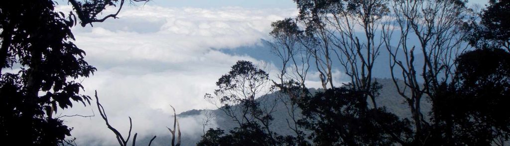
This mountain is the highest peak in the Schwaner range and indeed the highest peak in Kalimantan (Indonesian Borneo). It lies on the border of West and Central Kalimantan and, although it can be climbed from either province, by far the commonest approach is via Rantau Malam on the West Kalimantan side. Just getting to Rantau Malam is an adventure in itself.
Pemancung
Facts Elevation: 1,552 m (5,092 ft) Prominence: 1,209 m Ribu category: Kurang Tinggi Province: Kalimantan Tengah (Central Kalimantan) Google Earth: kml Rating: Other names: none Bagging It! We currently know very little about this mountain. Please contact us if you can help provide some information. Practicalities Getting there: Unknown Accommodation: Unknown Permits: Unknown Water sources: […]
Kanamu
Facts Elevation: 1,578 m (5,177 ft) Prominence: 1,280 m Ribu category: Kurang Tinggi Province: Kalimantan Tengah (Central Kalimantan) Google Earth: kml Rating: Other names: Bukit Keminting on Google Maps, but unverified Bagging It! We currently know very little about this mountain. Please contact us if you can help provide some information. Practicalities Getting there: Unknown […]
Puruk Sandukui

Facts Elevation: 1,023 m (3,356 ft) Prominence: 772 m Ribu category: Spesial Province: Kalimantan Tengah (Central Kalimantan) Google Earth: kml Rating: Other names: none Photos Bagging It! Puruk Sandukui is incredibly difficult to get to – it takes several days from the nearest city of Palangkaraya. This may explain why there are so few images […]
Batikap

Facts Elevation: 1,580 m (5,184 ft) Prominence: 491 m Ribu category: Spesial Province: Kalimantan Tengah (Central Kalimantan) Google Earth: kml Rating: Other names: Betikap Photos Bagging It! Bukit Batikap is one of the northernmost mountains in Central Kalimantan. In 2012, as part of a mapping project with Tumbang Tohan, Heart of Borneo followed three village […]
Liyang
Facts Elevation: 1,720 m (5,643 ft) Prominence: 982 m Ribu category: Spesial Province: Kalimantan Tengah (Central Kalimantan) Google Earth: kml Rating: Other names: none Bagging It! We currently know very little about this mountain. Please contact us if you can help provide some information. Practicalities Getting there: Unknown Accommodation: Unknown Permits: Unknown Water sources: Unknown […]
Sapathawung West
Facts Elevation: 1,906 m (6,253 ft) Prominence: 1,428 m Ribu category: Kurang Tinggi Province: Kalimantan Tengah (Central Kalimantan) Google Earth: kml Rating: Other names: Sapat Hawung Bagging It! We currently know very little about this mountain. Please contact us if you can help provide some information. Practicalities Getting there: Unknown Accommodation: Unknown Permits: Unknown Water […]