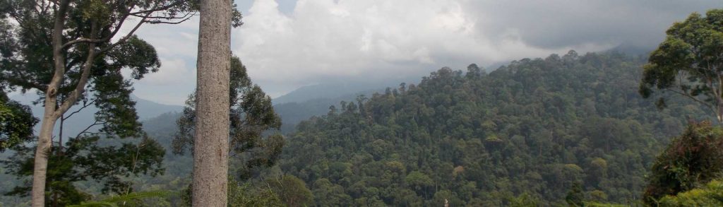
Author name: Dan

Y Chain

Facts Elevation: 3,285 m (10,778 ft) Prominence: 1,227 m Ribu category: Sangat Tinggi Province: Papua Google Earth: kml Rating: Other names: none Bagging It! Currently we know very little about this peak – please get in touch if you can help with information! Local Accommodation   Practicalities Getting there: Unknown Permits: Unknown Water sources: Unknown […]

Y Chain Read More »

Z Chain

Facts Elevation: 3,773 m (12,379 ft) Prominence: 1,354 m Ribu category: Sangat Tinggi Province: Papua Google Earth: kml Rating: Other names: none Bagging It! We currently know very little about this peak – please get in touch if you can help with information! Local Accommodation   Practicalities Getting there: Unknown Permits: Unknown Water sources: Unknown

Z Chain Read More »

Jumbul Ambera

Facts Elevation: 3,785 m (12,418 ft) Prominence: 1,383 m Ribu category: Sangat Tinggi Province: Papua Google Earth: kml Rating: Other names: none Bagging It! We currently know very little about this peak – please get in touch if you can help with information! Local Accommodation   Practicalities Getting there: Unknown Permits: Unknown Water sources: Unknown

Jumbul Ambera Read More »

Valentiyn

Facts Elevation: 4,453 m (14,610 ft) Prominence: 807 m Peak category: Spesial Province: Papua Google Earth: kml Rating: Other names: none Bagging It! We currently know very little about this peak – please get in touch if you can help with information! Local Accommodation   Practicalities Getting there: Unknown Permits: Unknown Water sources: Unknown Local

Valentiyn Read More »

Gunung Gumai

Facts Elevation: 1,796 m (5,892 ft) Prominence: 1,057 m Ribu category: Kurang Tinggi Province: Sumatera Selatan (South Sumatra) Google Earth: kml Rating: Other names: Gumay, Bukit Tuguk Bagging It! We do not know much about this peak but a local contact in Pagar Alam traversed the range recently and got a GPS reading of 1796m

Gunung Gumai Read More »

Gunung Pasu

Facts Elevation: 2,078 m (6,818 ft) Prominence: 983 m Peak category: Spesial Province: Sumatera Selatan (South Sumatra) Google Earth: kml Rating: Other names: Labelled ‘Bukit Condong’ on the Bakosurtanal map. Photos Bagging It! This range is clearly visible from Bukit Kaba and has at least two peaks over 2,000m in elevation. The more southerly one –

Gunung Pasu Read More »

Wawo Lantambaga

Facts Elevation: 909 m (2,982 ft) Prominence: 909 m Peak category: Spesial Province: Sulawesi Tenggara (Southeast Sulawesi) Google Earth: kml Rating: (Bagged it? Be the first to rate it)Loading… Other names: none.   Bagging It! The Bakosurtanal map lists this peak as being 892m high and part of the Lampeapi range (‘Pegunungan Lampeapi’). Local Accommodation  

Wawo Lantambaga Read More »

Bulu Mopeaanooleo

Facts Elevation: 2,242 m (7,356 ft) Prominence: 1,026 m Ribu category: Tinggi Sedang Province: Sulawesi Tenggara (Southeast Sulawesi) Google Earth: kml Rating: Other names: Previously listed as “Libukang” Bagging It! Bulu or Gunung Libukang may be more accurately named “Bulu Mopeaanooleo”, and Libukang may refer to a much lower peak in the same range. There

Bulu Mopeaanooleo Read More »

Gunung Samlor

Facts Elevation: 990 m (3,248 ft) Prominence: 990 m Peak category: Spesial Province: Papua Barat (West Papua) Google Earth: kml Rating: Other names: Pulau Waigeo Bagging It! This Ribu is the highest point of Waigeo island, also sometimes spelt Weigeo. We previously thought Gunung Mandum (estimated 977m) was the highest, a peak of similar height lying

Gunung Samlor Read More »

Pegunungan Legare

Facts Elevation: 1,332 m (4,370 ft) Prominence: 1,010 m Ribu category: Kurang Tinggi Province: Papua Google Earth: kml Rating: Other names: none Bagging It! We currently know very little about this peak – please contact us if you can provide any information. It’s a borderline Ribu, with 1317m height from SRTM which would mean a

Pegunungan Legare Read More »

Scroll to Top