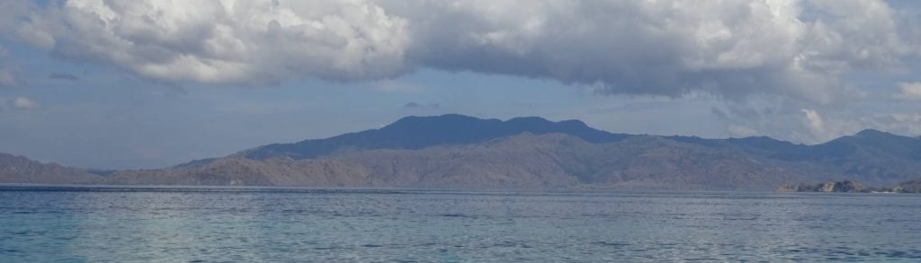
Buku Rogirogi / Bukit Uwatcain
Facts Elevation: 1,250 m (4,101 ft) Prominence: 1,092 m Ribu category: Kurang Tinggi Province: Maluku Utara (North Moluccas) Island: Halmahera Coordinates: -0.2660, 127.7569 Rating: Other names: Bukit Oewattjain, Bukit Uwattjain World Ribus ID: 69181 Bagging It! We currently know very little about this peak – please contact us if you can provide any information. The US Army […]
Buku Rogirogi / Bukit Uwatcain Read More »