
Gunung Kerinci
Mount Kerinci is the highest volcano in Indonesia and the highest Indonesian peak outside Papua (Irian Jaya). Considering its height, Kerinci is not as difficult a climb as you might think and the views from the top are amazing.
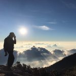
Mount Kerinci is the highest volcano in Indonesia and the highest Indonesian peak outside Papua (Irian Jaya). Considering its height, Kerinci is not as difficult a climb as you might think and the views from the top are amazing.
Facts Elevation: 1,647 m (5,404 ft) Prominence: 48 m Peak category: Spesial Province: Nusa Tenggara Timur Island: Flores Coordinates: -8.7644, 121.8123 Rating: Other names: Peak name is Inspiration Point, the highest publicly-accessible peak. Eruptions: 1865, 1938, 1968 Photos Bagging It! Famous for its three exotic coloured lakes, Kelimutu is the most famous natural tourist attraction on the
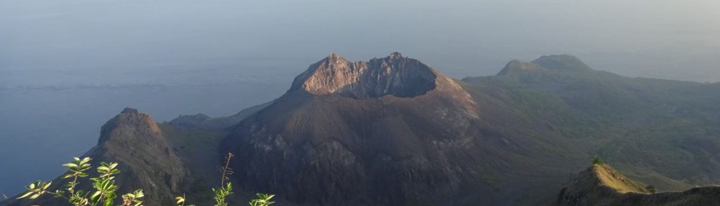
Ili Werung volcano forms the end of one of Lembata’s main southern peninsulas and is comprised of several peaks with different names. The caldera itself is known as the Lerek caldera although another name is used for this range – Adowajo. This also appears to refer to the range as a whole and is an ancient name. Ili Werung itself is an impressive lava dome and crater which is thought to have been formed and growing since 1870.
When people think of volcano attractions in Flores, they probably think of the Kelimutu lakes and perhaps Gunung Egon near Maumere. But perhaps the most impressive volcano on the island is Iya, a small peak at the end of a short peninsula just 15 minutes south by motorbike from the large town of Ende. Whereas Kelimutu has a carpark near the top and cement walkway to the rim, getting to Iya is a little harder and more dangerous than you would think just from looking at it on a map.
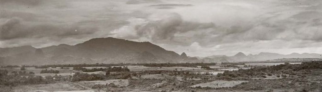
Gunung Sangga Buana is a small mountain 32km south of Karawang, popular with local villagers who often pray on its slopes.
Gunung Sangga Buana Read More »
If you’re travelling across Flores, the relatively easy hike to the summit of Ebulobo is an excellent reason to stop for a night between Bajawa and Ende. It’s a diversion from the usual tourist trail and you’ll meet friendly villagers and explore a fascinating summit that is a jumble of huge rocks with lots of sulfurous action.
Facts Elevation: 1,516 m (4,974 ft) Prominence: 1,139 m Ribu category: Kurang Tinggi Province: Kalimantan Timur (East Kalimantan) Coordinates: 2.0533, 116.6325 Rating: Other names: Guguang, Gay World Ribus ID: 69159 Photos Bagging It! According to Nepenthes expert Alastair Robinson, the mountain is ‘called Gunung Guguang or Gunung Gay depending on who you talk to. There are two adjacent
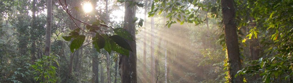
Gunung Bujang Melaka is a small mountain lying just to the west of the Banjaran Titiwangsa (or Main Range), separate enough to be a Ribu in its own right and accessible enough from the road and nearby train station at Kampar at the western side to be quite possible as a day hike.
Gunung Bujang Melaka Read More »
Manglayang mountain is perfect for a weekend day hike as you can climb it without camping overnight. It takes about 2 hours to ascend to the lesser eastern peak which offers wonderful views over the plains of Bandung and just under an hour more to the large, flat summit. Looking at the mountain on Google Earth it is clear that this used to be a powerful volcano with a wide, circular crater wall. Indeed, remnants of lava flow can still be seen on the Jatinangor route.
Facts Elevation: 1,265 m (4,150 ft) Prominence: 1,022 m Ribu category: Kurang Tinggi Province: Jawa Timur (East Java) Coordinates: -7.8456, 114.3629 Rating: World Ribus ID: 69210 Photos Bagging It! The relatively small, dormant volcano of Baluran is located in Baluran National Park on the extreme NE tip of Java. Being in a rain shadow, the region is