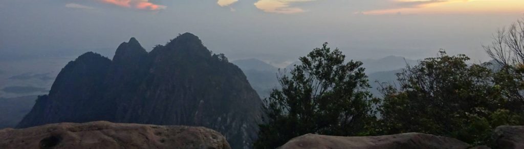
Author name: Dan

Samosir

Facts Elevation: 1,698 m (5,571 ft) Prominence: 791 m Peak category:  Spesial Province:  Sumatera Utara (North Sumatra) Coordinates: 2.6406, 98.8319 Rating: Photos Bagging It! This peak is the highest point on the volcanic island of Samosir, which lies within the vast Toba caldera complex – a landscape formed 74,000 years ago by the largest volcanic explosion in […]

Samosir Read More »

Gunung Cabang

Facts Elevation: 1,030 m (3,379 ft) Prominence: 1,030 m Ribu category:  Kurang Tinggi Province:  Kalimantan Barat (West Kalimantan) Island: Karimata Coordinates: -1.6034, 108.9038 Rating: World Ribus ID: 69207 Photos Bagging It! Gunung Cabang is the highest point on the island of Karimata which lies to the southwest of mainland Kalimantan.

Gunung Cabang Read More »

Manado Tua

Manado Tua is an inactive volcanic cone island off the west coast of North Sulawesi, close to the capital Manado. There is a good path to the top and the summit offers great views over the other islands and Manado Bay. In good weather you can see the smoking cone of Gunung Soputan almost 60 kilometres away. But be careful you don’t fall into the huge hole at the summit which was made recently by local people looking for buried treasure!

Manado Tua Read More »

Gunung Bongkok

BONGKOK

The steep and impressive Gunung Bongkok lies just to the south of the equally imposing Gunung Parang. They are both of great interest to rock climbers as there are various vertical rock faces on their slopes. This lovely area can easily be explored on a day-trip from Jakarta.

Gunung Bongkok Read More »

Gunung Ibu

GUNUNG IBU

Along with nearby Gunung Dukono also in northern Halmahera, Gunung Ibu is a highly active and fascinating volcano well worth visiting by hikers and volcano enthusiasts. Just looking at the volcano on a topographic map suggests that in ancient times this was a fearsome place, with the villages to the north being located in what looks like a primordial outer caldera floor.

Gunung Ibu Read More »

Gunung Raya

RAYA (LANGKAWI)

Gunung Raya is the highest peak of Langkawi island and is one of the most north-westerly mountains of the lands where mountains are called ‘gunung’. Despite its name meaning ‘great’ or ‘big’, it is not be the most impressive peak nor the most interesting trek, but there are some decent views and it makes a very pleasant half-day out on what is a lovely island.

Gunung Raya Read More »

Gunung Tampomas

TAMPOMAS

Gunung Tampomas is located northeast of Sumedang (480 metres above sea level) – a town famous for its delicious tahu (fried tofu) – and is easily accessible by public transport from Bandung. Whilst no giant in terms of elevation, Tampomas is an easy and enjoyable hike – perfect as the first of the season or as a warm-up for something more challenging.

Gunung Tampomas Read More »

Batu Tara

Facts Elevation: 748 m (2,454 ft) Prominence: 748 m Peak category:  Spesial Province:  Nusa Tenggara Timur Island: Komba Coordinates: -7.7907, 123.5852 Rating: Eruptions: 1852, 2006-2014 Photos Bagging It! The remote Komba island consists of an active volcano, Batu Tara, whose first known eruption was in 1852. In November 2010, I sailed on a Bugis prahu (schooner) in

Batu Tara Read More »

Doro Ora

Facts Elevation: 735 m (2,411 ft) Prominence: 735 m Peak category:  Spesial Province:  Nusa Tenggara Timur Island: Rinca Coordinates: -8.7650, 119.6816 Rating: Photos Bagging It! Doro Ora is the highest point of Rinca island (pronounced ‘Rintja’) – one of the two large islands in Komodo National Park. Closer than Komodo to the port town of Labuan Bajo

Doro Ora Read More »

Scroll to Top