Gunung Binaiya – Puncak Siale
BINAIYA
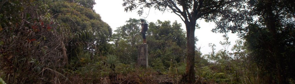
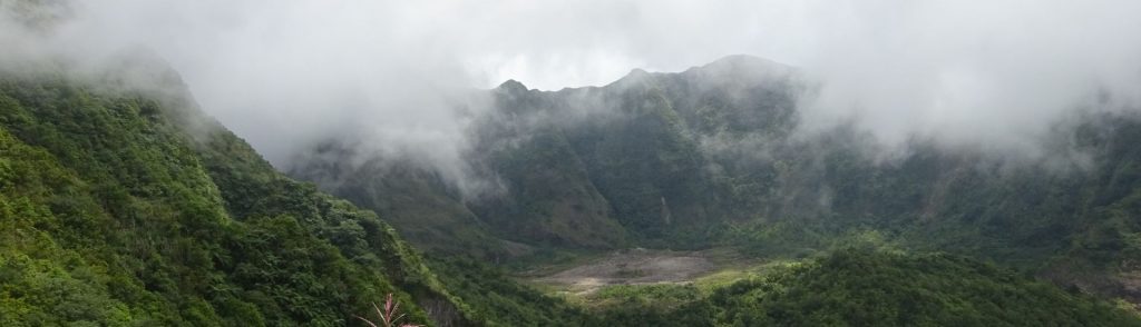
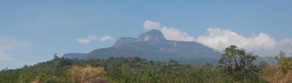
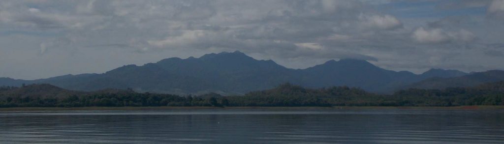
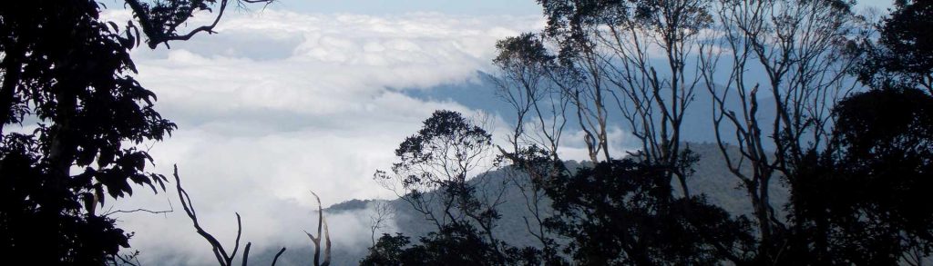
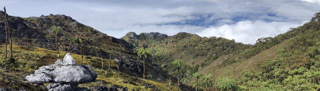
This increasingly-popular Ribu is the highest peak on the island of Seram and the large range is part of the Manusela National Park. There is a northern and a southern route, and the southern route is becoming the more popular of the two because the trailhead is a little higher up and a return journey can be done in 5 days and 4 nights.
Gunung Binaiya – Puncak Siale Read More »