Author name: Dan

Phou Xai Lai Leng

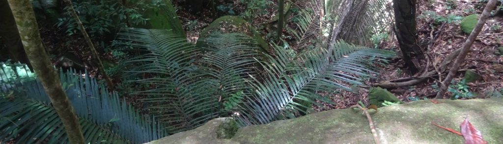
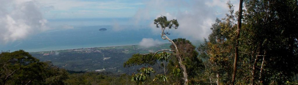
Facts Elevation: 2,720 m (8,924 ft) Prominence: 1,622 m Ribu category:  Tinggi Sedang Region:  Northern Lao /  Northern Vietnam Coordinates: 19.1975, 104.1817 Rating: World Ribus ID: 68526 Bagging It! Phou Xai Lai Leng is an ultra-prominent peak of the Annamite Range on the Lao–Vietnam border, ranking as one of Southeast Asia’s highest mountains and second-highest in Lao. Despite its elevation and […]
Phou Xai Lai Leng Read More »

Gunung Mundo Perdido

Facts Elevation: 1,763 m (5,784 ft) Prominence: 1,223 m Ribu category:  Kurang Tinggi Region:  Timor-Leste (East Timor) Coordinates: -8.7233, 126.3225 Rating: World Ribus ID: 69134 Photos Bagging It! Gunung Mundo Perdido (1,763 m) offers a lovely one-day trek, although reaching its true summit is probably much more difficult. Mundo Perdido (Portuguese) literately means ‘Lost World’. The name

Gunung Mundo Perdido Read More »

Gunung Kajang

KAJANG

Tioman is the only significantly mountainous island of several scattered off Peninsular Malaysia’s east coast. Despite being a popular holiday island, the forest remains very wild and is home to some endemic species. Most visitors to Tioman get their first view of the island’s peaks from the boat over from Mersing.

Gunung Kajang Read More »

Gunung Jerai

JERAI

Gunung Jerai is a very striking limestone mountain surrounded by flat land and located on Malaysia’s west coast. In ancient times it was used as a navigational aid by traders from overseas and allegedly was once an island called Pulau Serai. It was also previously known as ‘Kedah Peak’ and is normally clearly visible from Penang.

Gunung Jerai Read More »

Gunung Korbu

Facts Elevation: 2,183 m (7,162 ft) Prominence: 1,993 m Ribu category:  Tinggi Sedang Region:  Peninsular Malaysia Malaysian state: Perak Range: Banjaran Titiwangsa / Main Range Coordinates: 4.6897, 101.2973 Rating: Other names: The traditional name is Gunung Riam. ‘Korbu’ may come from ‘kerbau’ meaning water buffalo. World Ribus ID: 68508 Photos Bagging It! At 2,183m, Gunung Korbu is

Gunung Korbu Read More »

Gunung Wayang-Windu

Wayang-Windu is a twin volcano that consists of Mount Wayang (“Mount Shadow”) and Mount Windu. Wayang is the higher of the two peaks and, although both peaks have active side craters, Wayang is the more interesting. The northern ridge offers some of the most demanding hiking terrain (and most fabulous views) in the whole of West Java. Legend has it that an emperor from the ancient Sundanese kingdom of Pajajaran is buried on the middle peak.

Gunung Wayang-Windu Read More »

Gunung Tuntuli

Facts Elevation: 959 m (3,146 ft) Prominence: 743 m Peak category:  Spesial Province:  Nusa Tenggara Timur Island: Pantar Coordinates: -8.3076, 124.2884 Rating: Other names: ‘Woto Tuntuli’ on the Bakosurtanal map. Photos Bagging It! This mountain is located on the north eastern corner of Pantar island. The is a village at the base of the mountain and a

Gunung Tuntuli Read More »

Gunung Matebean Mane

Facts Elevation: 2,372 m (7,782 ft) Prominence: 2,045 m Ribu category:  Tinggi Sedang Region:  Timor-Leste (East Timor) Coordinates: -8.6417, 126.5958 Rating: Other names: Often spelt ‘Matebian’. Some maps suggest that nearby Matebean Feto is the highest mountain in the range but this is untrue. World Ribus ID: 69034 Photos Bagging It! The Matebean (also spelt ‘Matebian’) massif

Gunung Matebean Mane Read More »

Gunung Talang

Mount Talang is one of the most accessible volcanoes in Sumatra, lying just 3 hours drive from Padang. It is also one of the most interesting – the mountain is full of birdlife and monkeys, the views from the higher slopes are unbeatable and since the violent eruptions of April 2005 the summit area is still covered with burnt trees. Thankfully, Talang has quietened down recently so it is a popular weekend hike for students from across West Sumatra. It’s a straighforward, short hike which can be accomplished in a weekend trip from elsewhere in the archipelago.

Gunung Talang Read More »

Ili Uyelewun

Ili Ujolewung is one of the best of the ‘less high’ mountains in Indonesia. Although infrequently climbed, the grassy terrain allows spectacular views across Lembata island, including the smoking volcano, Ili Ape (Lewotolo), to the west. The mountain is no longer active, but an ancient, shallow crater still remains clearly visible at the top. There is also a very old vegetable garden which is passed by the trail, apparently a historical place of retreat during wartime or to avoid capture by slave traders.

Ili Uyelewun Read More »

Scroll to Top