Sangat Tinggi

Tanete Gandangdewata

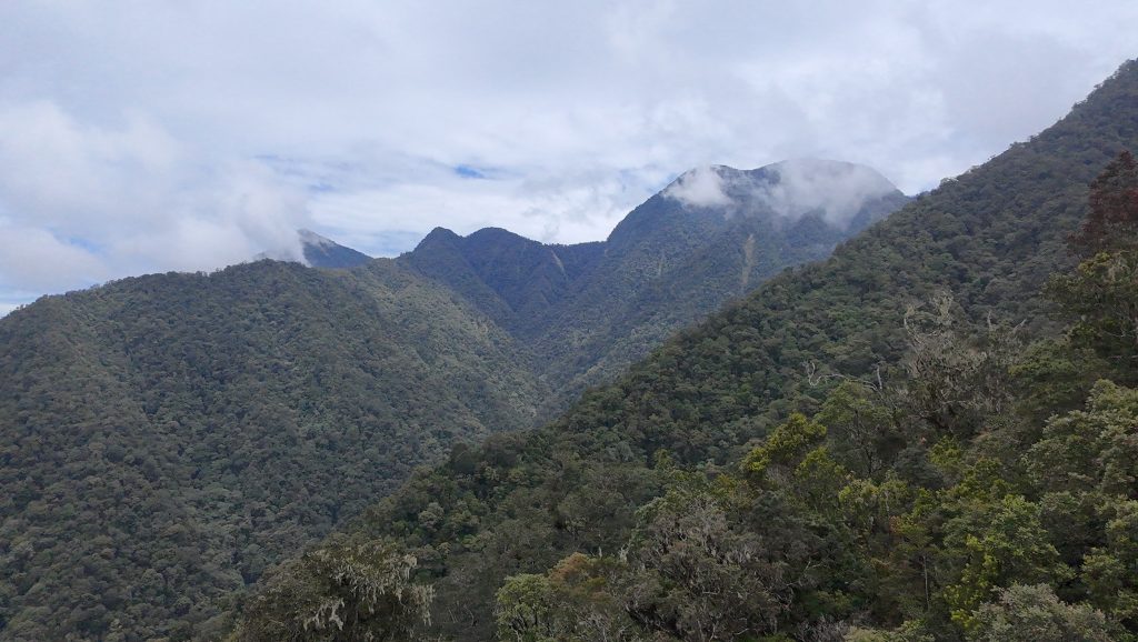
Facts Elevation: 3,074 m (10,085 ft) Prominence: 2,140 m Ribu category:  Sangat Tinggi Province:  Sulawesi Barat (West Sulawesi) Coordinates: -2.7480, 119.3685 Rating: Other names: Gandadiwata, Ganda Dewata, Gandang Dewata World Ribus ID: 69028 Photos Bagging It! This Ribu, the highest point of the Quarles range, is rarely climbed due to difficulty finding decent, reliable guides, its relatively […]

Tanete Gandangdewata Read More »

Puncak Jaya – Carstensz Pyramid

Facts Elevation: 4,884 m (16,024 ft) Prominence: 4,884 m Ribu category:  Sangat Tinggi Region:  Papua Coordinates: -4.0789, 137.1595 Rating: Other names: Carstensz Toppen, Jaya Kesuma, Nemangkawi, Gunung Sukarno World Ribus ID: 80001 Photos Bagging It! This Ribu is the highest point of the huge Sudirman Range, the highest mountain in Indonesia, the highest peak on an island

Puncak Jaya – Carstensz Pyramid Read More »

Semeru

Gunung Semeru

SEMERU

Java’s highest peak has been active for decades – a cloud of black volcanic ash and sand is frequently released from near the summit – sometimes once an hour, sometimes as often as every ten minutes. There have been numerous fatalities, but it is a popular and safe hike if you treat the mountain with respect and as Java’s highest peak, it is one of the finest hikes in Indonesia.

Gunung Semeru Read More »

Fuyu Sojol

Facts Elevation: 2,890 m (9,482 ft) Prominence: 2,573 m Ribu category:  Tinggi Sedang Province:  Sulawesi Tengah (Central Sulawesi) Coordinates: 0.5774, 120.2048 Rating: World Ribus ID: 69020 Bagging It! We currently know very little about this peak – but apparently it is much easier from the east than from the west.

Fuyu Sojol Read More »

Gunung Rinjani

Mount Rinjani is the second highest volcano in Indonesia (after Sumatra’s Mount Kerinci) and easily one of the finest and most popular treks in Asia. The volcano complex, previously known as Samalas, is now thought to have been the location of an enormous eruption in 1257 which caused climatic change across the globe and left the huge caldera which we see today. There are several routes through Mount Rinjani National Park. Sembalun to the east is the better starting point for hikers wishing to reach the rocky summit.

Gunung Rinjani Read More »

Nat Ma Taung / Mount Victoria

Facts Elevation: 3,070 m (10,072 ft) Prominence: 2,148 m Ribu category:  Sangat Tinggi Region:  Western Myanmar Coordinates: 21.2333, 93.9033 Rating: Other names: နတ်မတောင် World Ribus ID: 68503 Bagging It! Located within Nat Ma Taung National Park (established 1994), Mount Victoria (also known as Khaw-nu-soum or Khonuamthung) is one of Myanmar’s few accessible mountains. There are numerous trails across the mountain

Nat Ma Taung / Mount Victoria Read More »

Mol Len

Facts Elevation: 3,088 m (10,131 ft) Prominence: 1,739 m Ribu category:  Sangat Tinggi Region:  Western Myanmar Coordinates: 25.4942, 94.7517 Rating: World Ribus ID: 68515 Bagging It! Unknown at present. This peak is on the border with India. Practicalities Getting there: Unknown at present. Permits: Unknown at present. Water sources: Unknown at present. Local Average Monthly Rainfall (in

Mol Len Read More »

Saramati

Facts Elevation: 3,826 m (12,552 ft) Prominence: 2,894 m Ribu category:  Sangat Tinggi Region: Western Myanmar Coordinates: 25.7400, 95.0375 Rating: Other names: စာရာမေတိတောင် World Ribus ID: 68501 Bagging It! Saramati is the highest peak of the Naga Hills, straddling the India-Myanmar border – Nagaland (India) and Sagaing Region (Myanmar). Practicalities Getting there: Unknown at present. Permits:

Saramati Read More »

Tawang Bum

Facts Elevation: 3,352 m (10,997 ft) Prominence: 1,142 m Ribu category:  Sangat Tinggi Region:  Central Myanmar Coordinates: 27.0398, 96.8748 Rating: World Ribus ID: 63603 Bagging It! Unknown at present. Practicalities Getting there: Unknown at present. Permits: Unknown at present. Water sources: Unknown at present. Local Average Monthly Rainfall (in Mandalay) Location Click on the blue arrow (top

Tawang Bum Read More »

Bumhpa Bum

Facts Elevation: 3,411 m (11,191 ft) Prominence: 1,630 m Ribu category:  Sangat Tinggi Region:  Central Myanmar Coordinates: 26.6783, 97.2383 Rating: Other names: ဘွမ်ဖာဘွမ် World Ribus ID: 63362 Bagging It! Unknown at present. It lies in Bumhpa Bum Wildlife Sanctuary which is contiguous with Khakaborazi National Park. Practicalities Getting there: Unknown at present. Permits: Unknown at present. Water

Bumhpa Bum Read More »

Scroll to Top