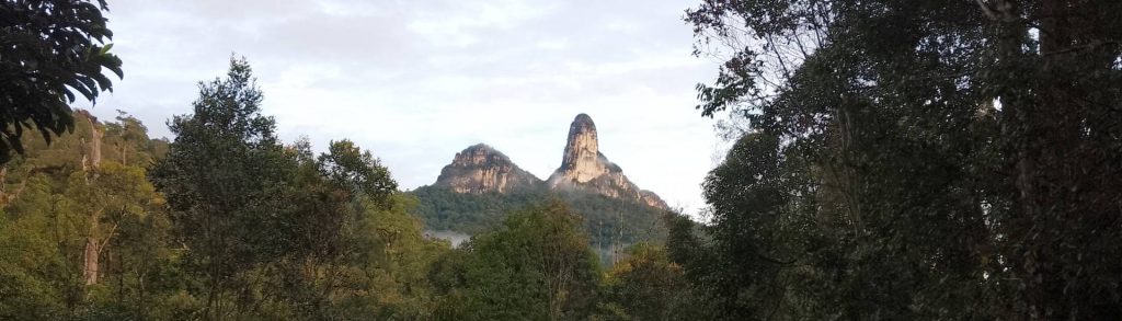
Spesial

Mount Maculot

Facts Elevation: 957 m (3,366 ft) Prominence: 612 m Peak category:  Spesial Region:  Luzon Coordinates: 13.9212, 121.0519 Rating: Bagging It! Mount Maculot, also known as Mount Macolod, is a dormant stratovolcano located in Cuenca, Batangas. It is a popular hiking destination known for its scenic views, including close proximity to Taal Lake and a famous rock formation […]

Mount Maculot Read More »

Mount Arayat

Facts Elevation: 1,026 m (3,366 ft) Prominence: 991 m Peak category:  Spesial Region:  Luzon Coordinates: 15.2053, 120.7425 Rating: World Ribus ID: 69569 Bagging It! Mount Arayat is a potentially active stratovolcano located in Pampanga province, Central Luzon. It is an isolated mountain standing prominently amid the vast agricultural plains of Central Luzon. The mountain features a large

Mount Arayat Read More »

Mount Lunitan

Facts Elevation: 1,338 m (4,390 ft) Prominence: 992 m Peak category:  Spesial Region:  Luzon Coordinates: 15.1622, 120.1733 Rating: World Ribus ID: 69568 Bagging It! Unknown at present. Practicalities Getting there: Unknown at present. Permits: Unknown at present. Water sources: Unknown at present. Local Average Monthly Rainfall (in Manila) Location   Click on the blue arrow (top right)

Mount Lunitan Read More »

Phnom Tumpor

Facts Elevation: 1,563 m (5,128 ft) Prominence: 984 m Peak category:  Spesial Region:  Cambodia Coordinates: 12.3828, 103.0308 Rating: Other names: ភ្នំទំព័រ Bagging It! Phnom Tumpor (also spelled Tumpoar) is Cambodia’s third‑highest peak, located in the Cardamom Mountains and within Phnom Samkos Wildlife Sanctuary. It’s rarely climbed and lacks formal trails so a local guide is essential. Treks

Phnom Tumpor Read More »

Phnom Kulen

Facts Elevation: 496 m (1,627 ft) Prominence: 404 m Peak category:  Spesial Region:  Cambodia Coordinates: 13.5800, 104.2150 Rating: Other names: ភ្នំគូលែន Bagging It! Phnom Kulen is a sacred sandstone plateau in Siem Reap Province, revered as the birthplace of the Khmer Empire where King Jayavarman II proclaimed independence in 802 CE (then named Mahendraparvata, “Mountain of Great Indra”). The

Phnom Kulen Read More »

Phnom Bokor

Facts Elevation: 1,081 m (3,547 ft) Prominence: 949 m Peak category:  Spesial Region:  Cambodia Coordinates: 10.6181, 104.0303 Rating: Bagging It! Phnom Bokor is the central summit of Preah Monivong National Park in Cambodia’s Kampot Province. It’s one of Cambodia’s most accessible mountains due to the road leading up to Bokor Hill Station, constructed in the French colonial

Phnom Bokor Read More »

Phnom Ta Krorhom Kor

Facts Elevation: 1,099 m (3,606 ft) Prominence: 660 m Peak category:  Spesial Region:  Cambodia Coordinates: 12.1614, 104.0311 Rating:   Bagging It! Currently unknown. Practicalities Getting there: Currently unknown. Permits: Currently unknown. Water sources: Currently unknown.   Local Average Monthly Rainfall (in Phnom Penh) Location   Click on the blue arrow (top right) to see your current location

Phnom Ta Krorhom Kor Read More »

Phnom Dat Chivit

Facts Elevation: 946 m (3,104 ft) Prominence: 805 m Peak category:  Spesial Region:  Cambodia Coordinates: 11.3773, 104.0253 Rating: Bagging It! Phnom Dat Chivit (often referred to as “End‑of‑the‑World Mountain”) is a mountain located in Kirirom National Park, about 100 km south-west of Phnom Penh. The hike follows a well-defined trail through high‑elevation pine and evergreen forest, gradually ascending for about

Phnom Dat Chivit Read More »

Phnom Thom

Facts Elevation: 1,543 m (5,062 ft) Prominence: 998 m Peak category:  Spesial Region:  Cambodia Coordinates: 11.8425, 103.8483 Rating: Other names: ភ្នំធំ World Ribus ID: 68732 Bagging It! Phnom Thom is a relatively obscure Cambodian peak situated in the Cardamom foothills. Little is known about trails or ascents but it is occasionally hiked by locals. Consulting an experienced

Phnom Thom Read More »

Batu Lawi

Facts Elevation: 2,046 m (6,713 ft) Prominence: 400 m Peak category:  Spesial Region:  Sarawak Range: Kelabit Highlands Division: Bahagian Limbang Coordinates: 3.8713, 115.3869 Rating: Other names: Batu Lawih Photos Bagging It! Batu Lawi, also spelt ‘Lawih’, is one of Borneo’s most iconic mountains, with two steep sandstone summit pinnacles. It can be clearly seen from the small

Batu Lawi Read More »

Scroll to Top