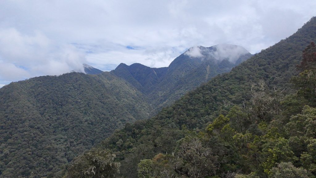
Gunung Legiggar
GUNUNG LEGIGGAR
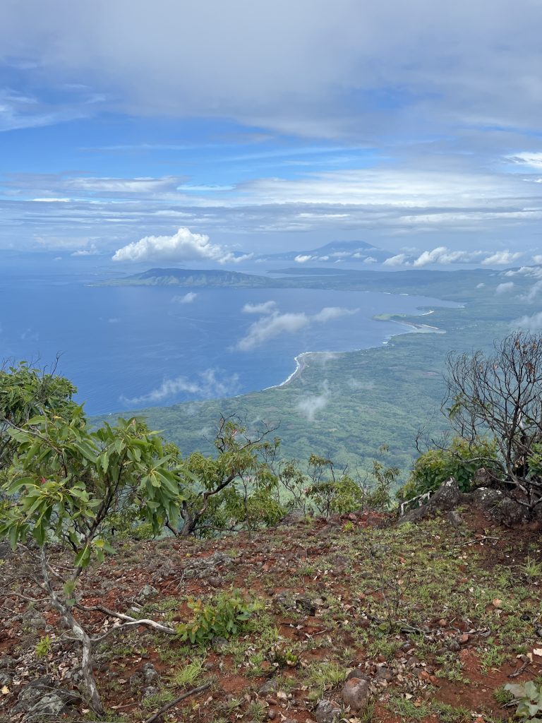
Gunung Sirung is one of the less visited volcanoes of Indonesia, but one of the most fascinating. The very same could be said of the entire island of Pantar itself, though in 2021 there is a small new airport operating regional flights. Perhaps the most mystical island in a very mystical nation, it is difficult to visit even for a day or two without having some very thought-provoking incidents!