
Facts
- Elevation: 1,808 m (5,932 ft)
- Prominence: 1,180 m
- Ribu category:
 Kurang Tinggi
 - Province:
 Sulawesi Tengah (Central Sulawesi)
 - Coordinates: -1.7545, 121.2525
- Rating:

 (2 votes) Add your rating
 Loading...
 - World Ribus ID: 69147
Photos

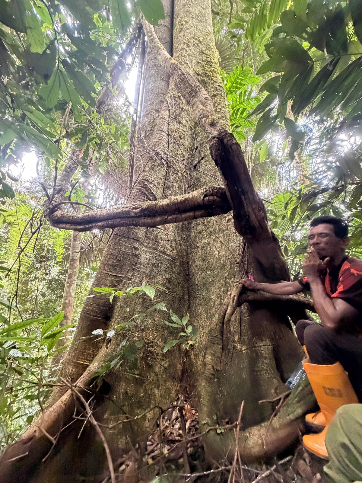

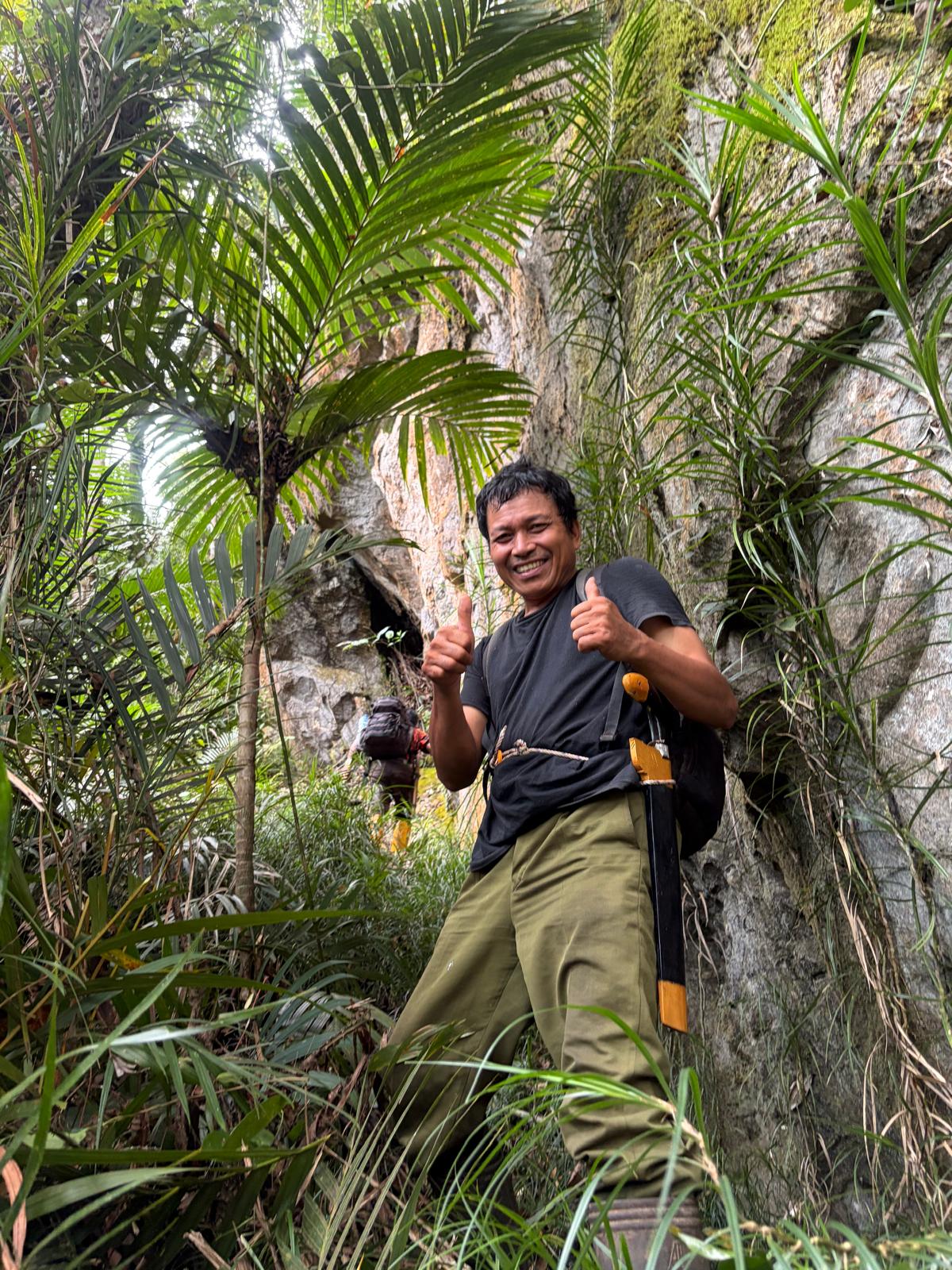
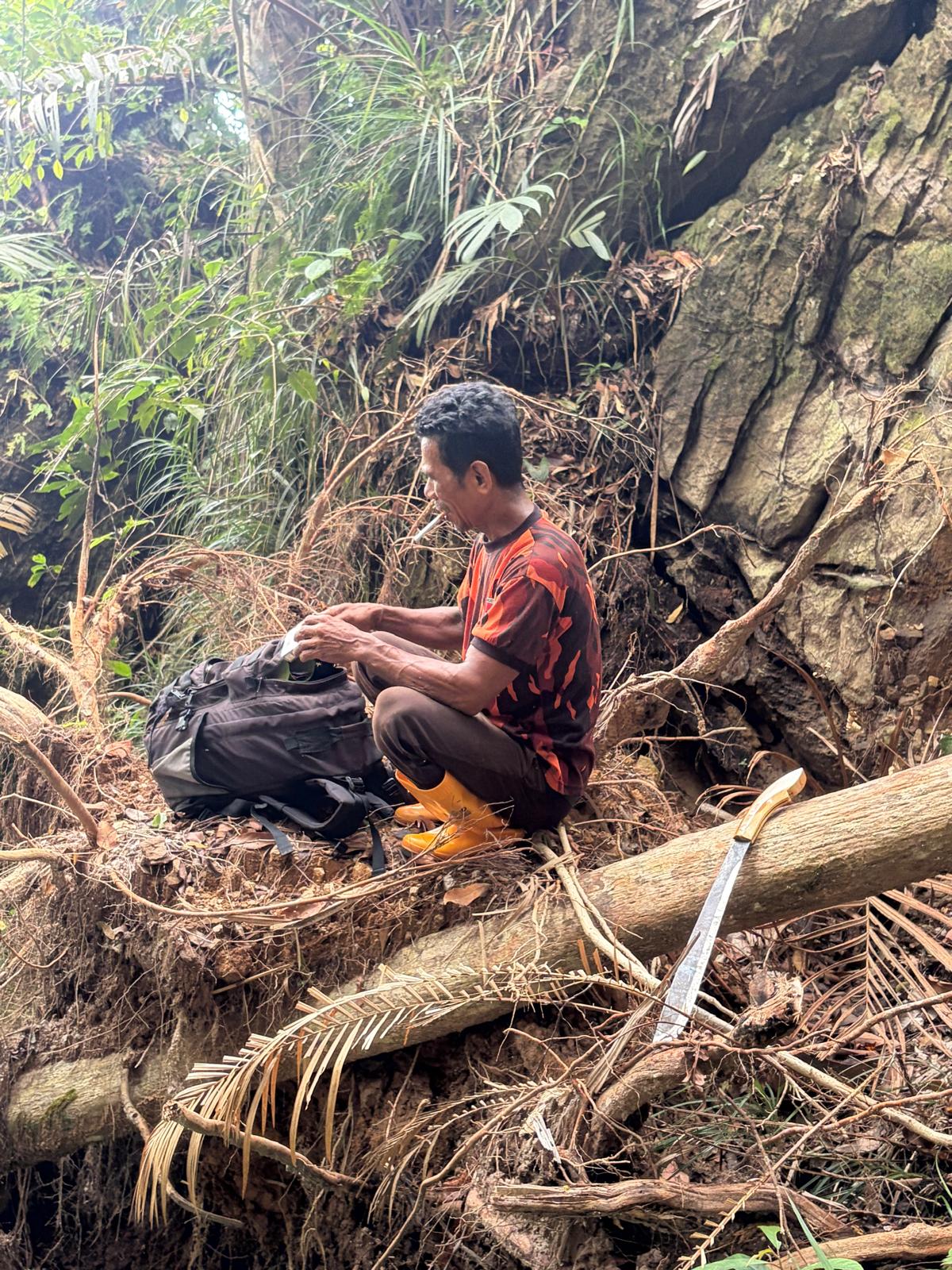
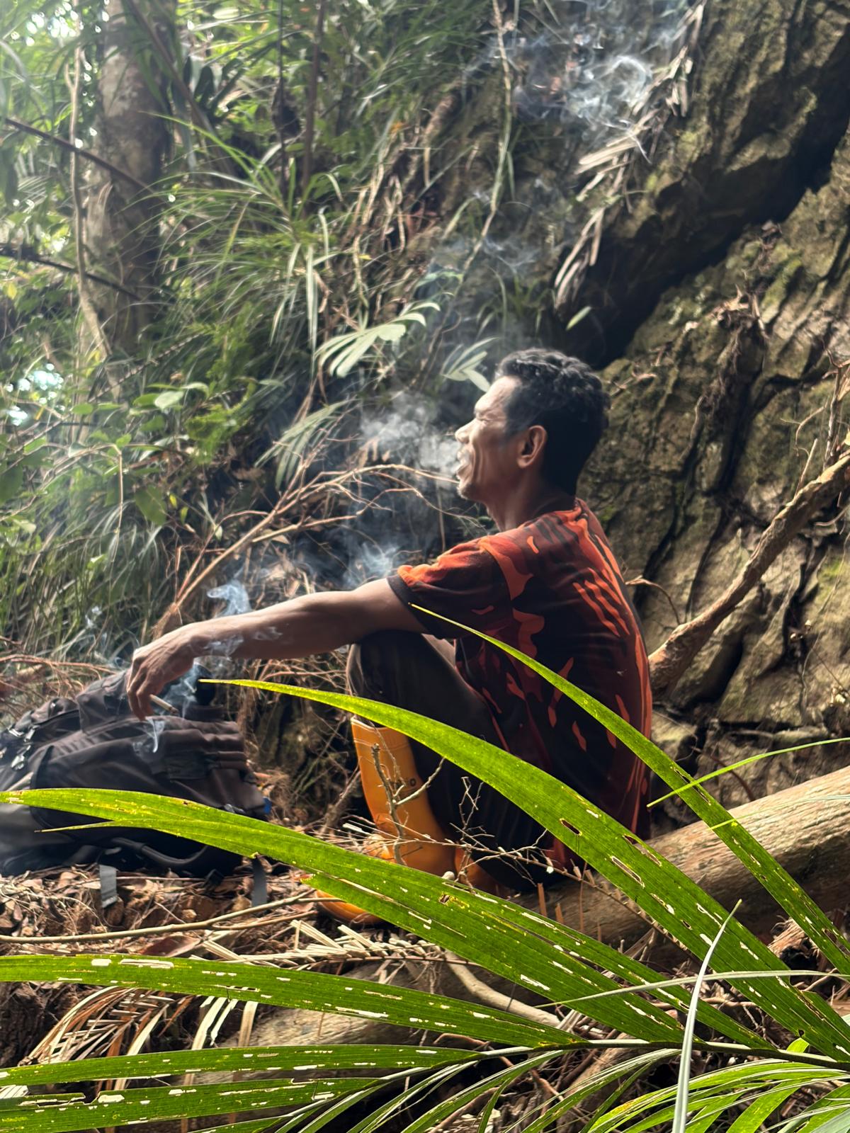


Bagging It!
Gunung Masamba is a remote peak in Central Sulawesi situated near the small town of Tandoyondo which sits on Gunung Masamba’s east side. This is the best start point for climbing the mountain. Tandoyondo is most easily reached by road from Poso, passing through Uekuli and Malino on route. Flying to Poso from Makassar is the quickest option. Then you will likely need two days of travelling by road from Poso to reach Tandoyondo and plenty of patience as public transport is almost non existent and the roads are slow dirt tracks beyond Malino.
The town of Malino is a potential overnight stop. This town very rarely sees travellers so accommodation can be hard to find. Arriving before dark is best if you’re hoping to stay the night. This will give you the best chance of meeting the locals and arranging a bed for the night. (Ask for Suriya Pati, a local teacher who speaks good English). Malino is a small friendly town and, although it doesn’t have commercial guesthouses, with some positivity and a smile you will likely meet someone who will find a bed for you. The next leg to Tandoyondo is shorter and can be done the following day in a few hours by car. Be prepared you will probably need to find a local person willing to drive you as you are unlikely to find a taxi here.
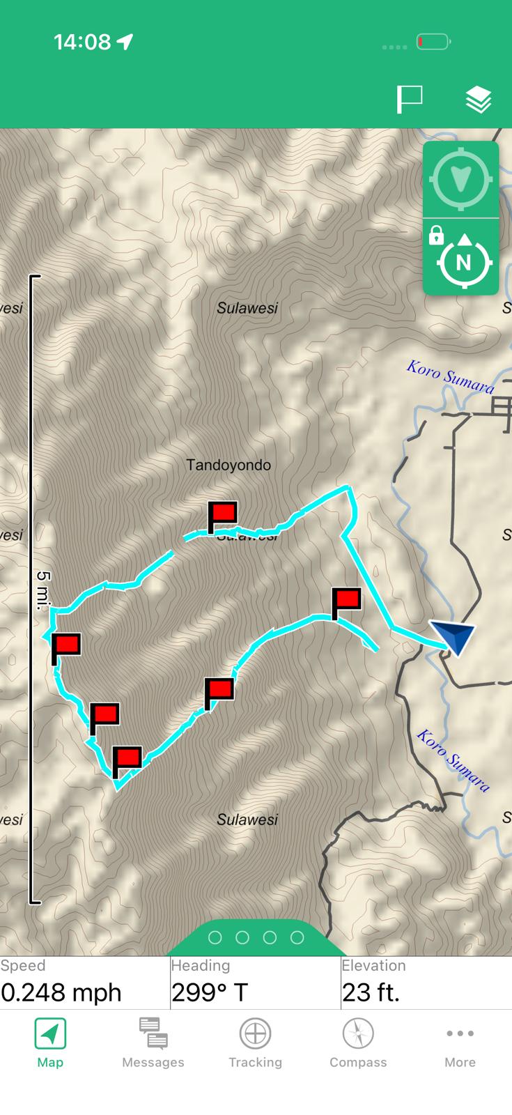
Day 1 of the trek. The first thing to know is that there is no established trail on this mountain. The route to the summit of Gunung Masamba from Tandoyondo has only had one recorded ascent. It is very steep, somewhere around a grade two – three scramble in places with plenty of loose rock. There is an old hunting trail as you start the climb from Tandoyondo. (Start point of hunting trail: S 1.749375. E 121.284250) This speeds up the first section and is worth following to start the climb but this disappears after a few hundred metres. After that your guide will be cutting a trail following a spur heading south-west until it steepens dramatically. Continue up the steeper terrain following the same south-west bearing until you reach the noticeably flatter ground of the ridge line which is a good spot to make camp. (Camp spot: S 1.766898 E 121.259331)
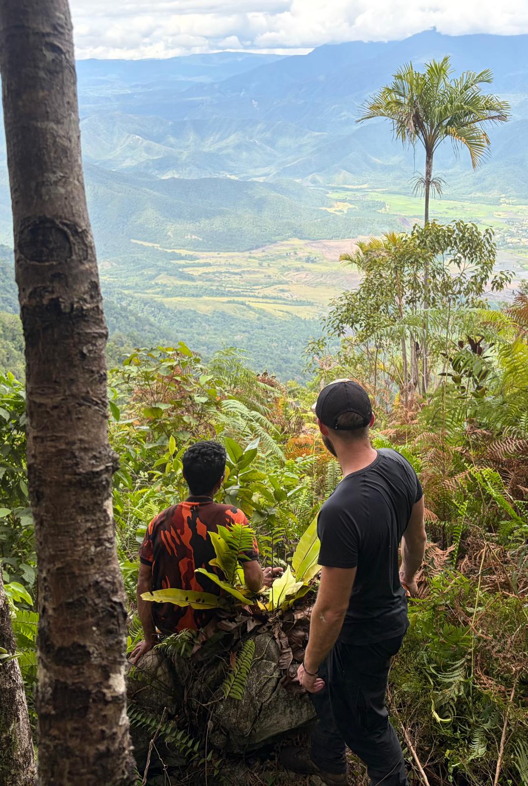
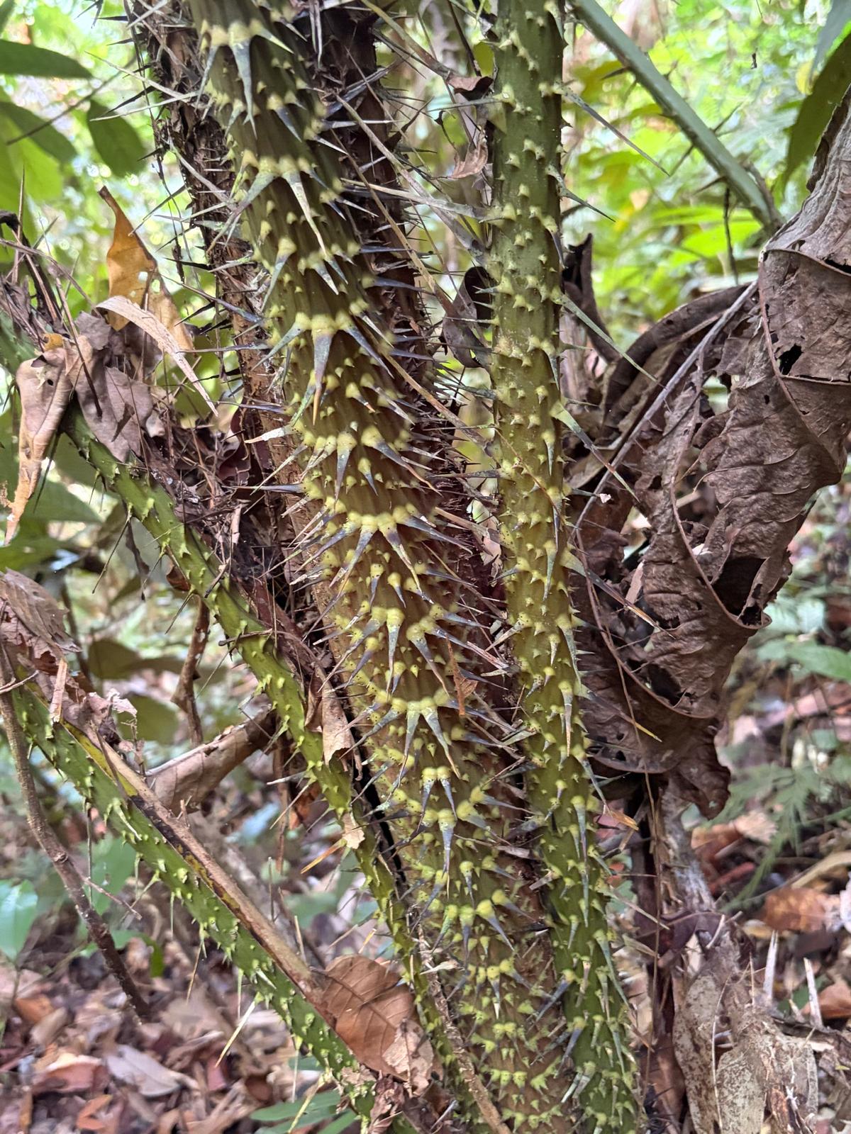
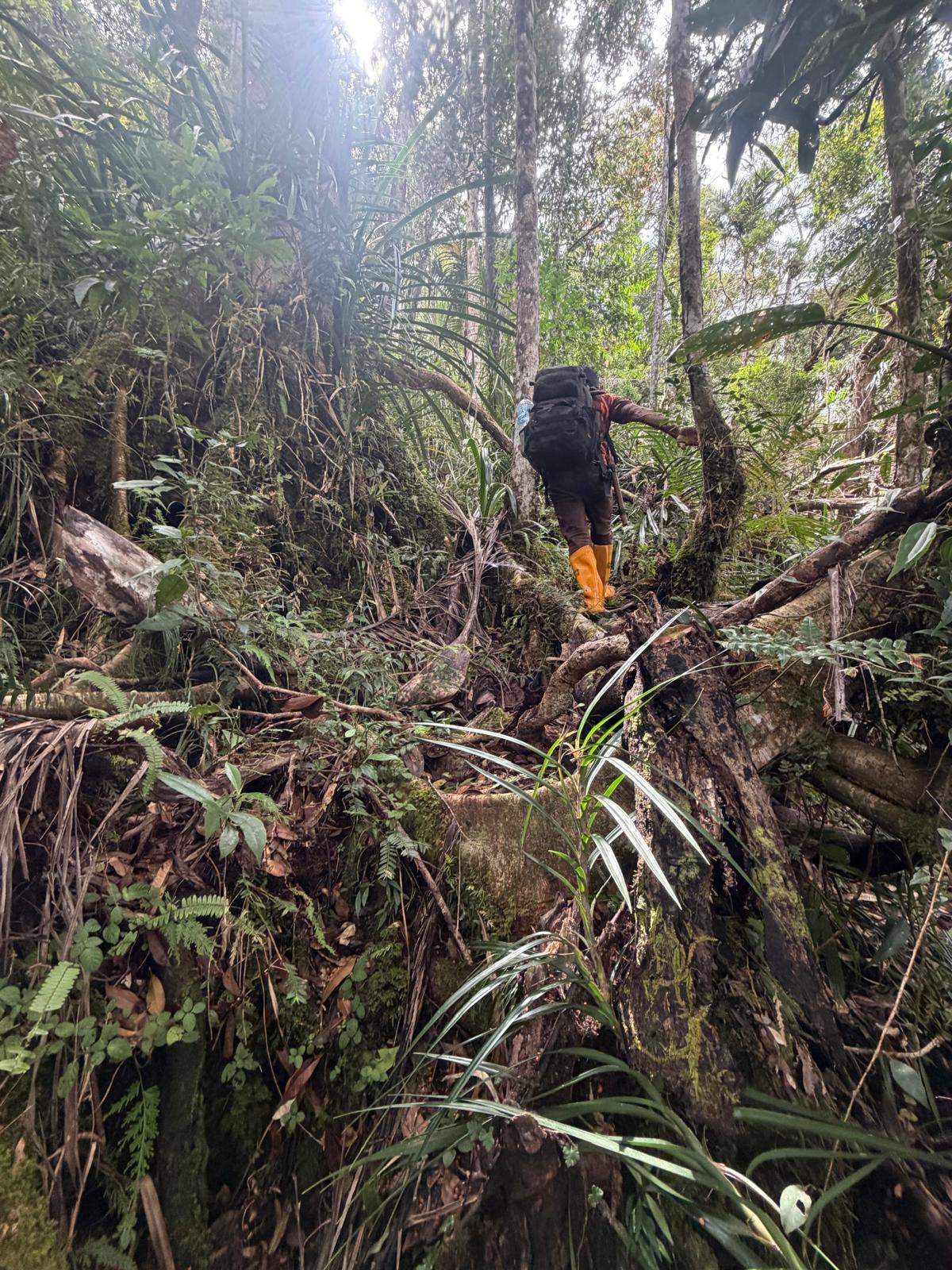
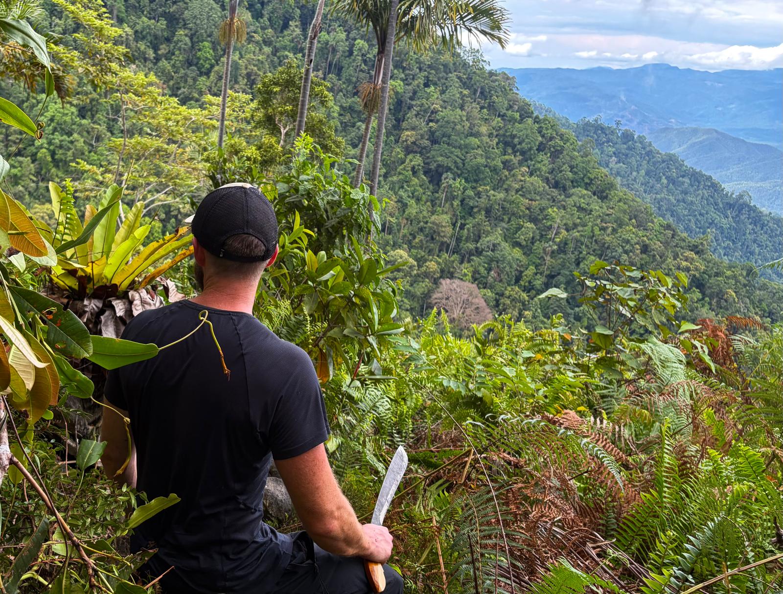
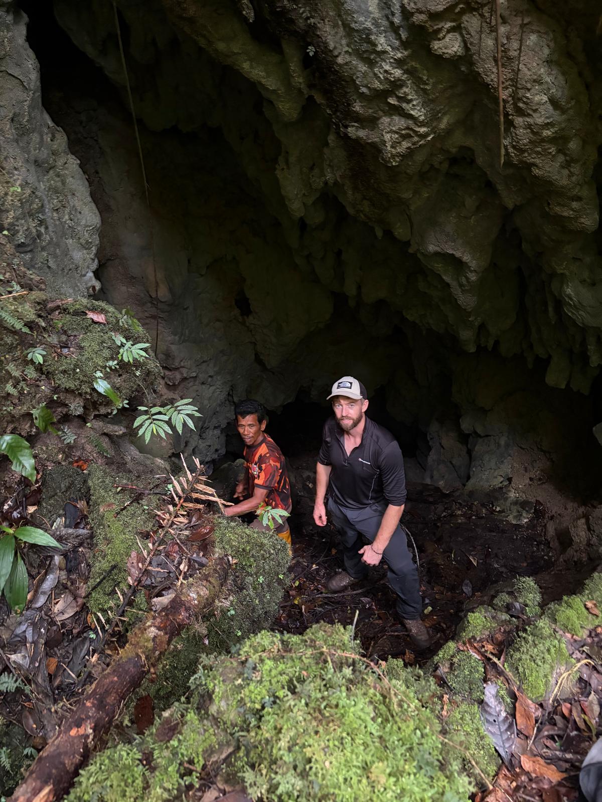
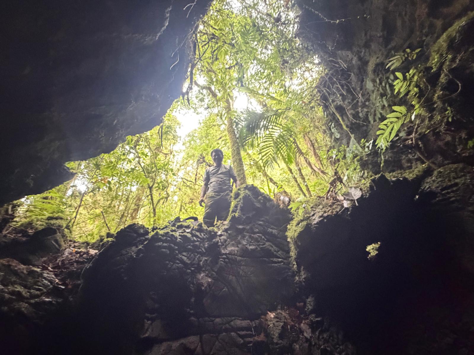
As it was summited on 15th November 2025 it is likely that for future ascents a new trail would need to be cut. The route also passes several cave systems. Some small cave entrances are hidden beneath the leaf litter which create serious hazards. This is a steep route so extra care needs to be taken if using trees for hand holds as many are dead and break away easily. The slow nature of this climb means that leeches, wasps and other insects are constant companions. Combined with the semi-technical nature of the route this makes it a serious expedition and not a peak for beginners. There are also small vipers on this mountain that are very hard to spot amongst the leaves and rattan. Take extra care when placing handholds. The summit can be climbed and descended back to Tandoyondo in three days via this route which is the most direct. There are several places during the ascent where spectacular views can be seen over the steep jungle back down into the valley towards Tandoyondo.
Day two of the hike follows up the broad summit ridge heading north-west from the camp spot towards the true summit through more lightly forested ground. The ridge is not steep or exposed and is quite a pleasant trek, although a path will still need to be cut in places. Wild Anoa roam around this area which means there are animal tracks that crisscross the ridge making the trekking much easier than the initial ascent but finding the true summit point will require some careful navigating as there is nothing to mark the summit and no clear view along the ridge is possible. There are some clearings along the ridge where incredible views into the valley below are possible.
At the summit (S 1.754312. E 121.252167.) you have two options. Follow the original teams route which descends via a different part of the east face. Which is closer to the actual summit than the route up but is a very difficult descent and quite dangerous (not recommended). The better option after summiting, is to retrace your steps back to the previous nights camp and camp there again for a second night. On the third morning descend the same route you climbed on the way up. This will be quicker and safer. (Up and back down the same route)
One last important point to mention. At no point during the entire three days on this mountain did the first team find any running water to drink in streams or rivers. The only way to find drinking water was to collect water from rattan vines. It’s not known if running water can be found at other times of year and this method of collecting water from rattan is a fairly slow process and often doesn’t produce huge amounts of water so being proficient in this skill is important if taking on this peak because you will likely end up relying on it.
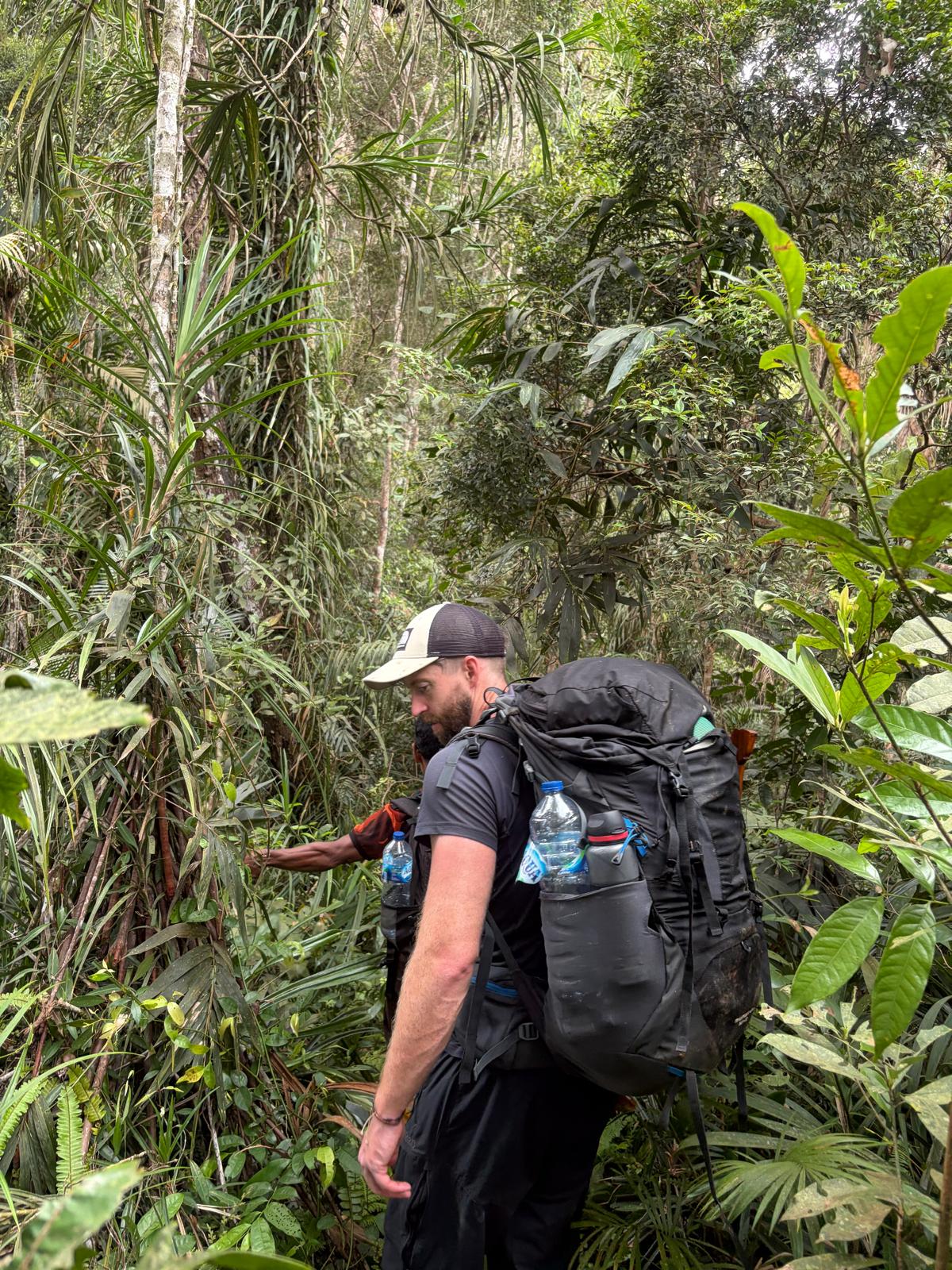
Final thoughts on Gunung Masamaba: This is not a beginner’s mountain. Competent navigation skills in difficult jungle terrain and local guides that are familiar with jungle travel are essential. Ninety percent of the trek will have to be done with a guide cutting the trail while paying close attention to navigation which means very slow progress. There are numerous hazards including, steep loose ground sometimes requiring ropes, thick forest cover with lots of sharp rattan, venomous snakes that are hard to spot combined with a very hands on climb, zero running water (at time of first ascent). However it is a beautiful, rugged mountain and a real adventure.
Important coordinates.
Start point of hike: S 1.749375. E 121.284250
Camp spot: S 1.766898 E 121.259331
Summit: S 1.754312. E 121.252167
Start of the gulley descent you should avoid: S 1.748642. E 121.251732
Bagging report by Chris Willmett (2026)
Practicalities
-
- Getting there: Flight to Poso from Makassar, Two days travel by road to Tondoyondo, with overnight in Malino. Public transport is hard to find. Hitch hiking will likely be quicker.
- Permits: Not required.
- Water sources: Unlikely to find any. Collecting water from rattan was the only option at the time of first recorded ascent. 15th October 2025.
Local Average Monthly Rainfall (mm): 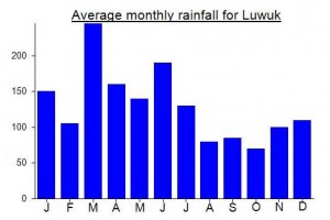
Location
Click on the blue arrow  (top right) to see your current location on the map
Here’s an exciting trip report from Chris Willmett on his ascent:
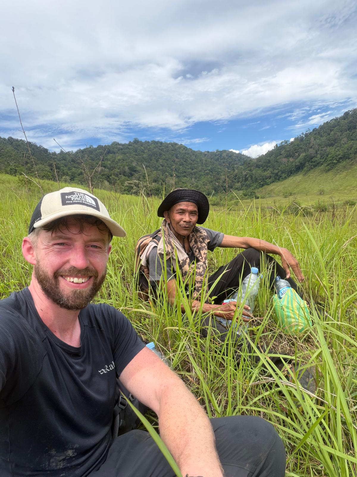
On 15 October 2025, myself (Chris Willmett), Amos and Anjaran reached the summit of Gunung Masamba. We reached the summit on the second of three days spent on the mountain. After extensive research, we believe this is the first recorded ascent of the mountain. I originally planned to climb Masamba from the north, following the ridgeline to the summit, as it is much less steep than all other options but significantly longer. After a failed first attempt due to a lack of running water, I decided to try it from the east, starting in Tandoyondo. My thought was that the east side, being steeper with more gullies, would probably mean there would be a better chance of finding water.
I had also heard that there was a hunting trail that went some way up the east face, so I planned to find it and use it to gain some progress up the mountain. The hunting trail does exist but was not regularly used, so it was still pretty overgrown. I quickly found out that finding water was going to be a big problem on this peak. There are numerous gullies and dried-up stream beds on the east side that suggest there is running water at some time of the year, but during the time we climbed it, we found no running water during the entire three days on the mountain. The main reason we were able to climb it was down to Amos and Anjaran, who both agreed to come with me from Tandoyondo. They showed me the technique for collecting water from rattan vines, which was a key part of the climb. This is quite a slow process and doesn’t always produce much water, which meant we spent the majority of this trip quite dehydrated and uncomfortable, but it allowed us to complete the expedition.
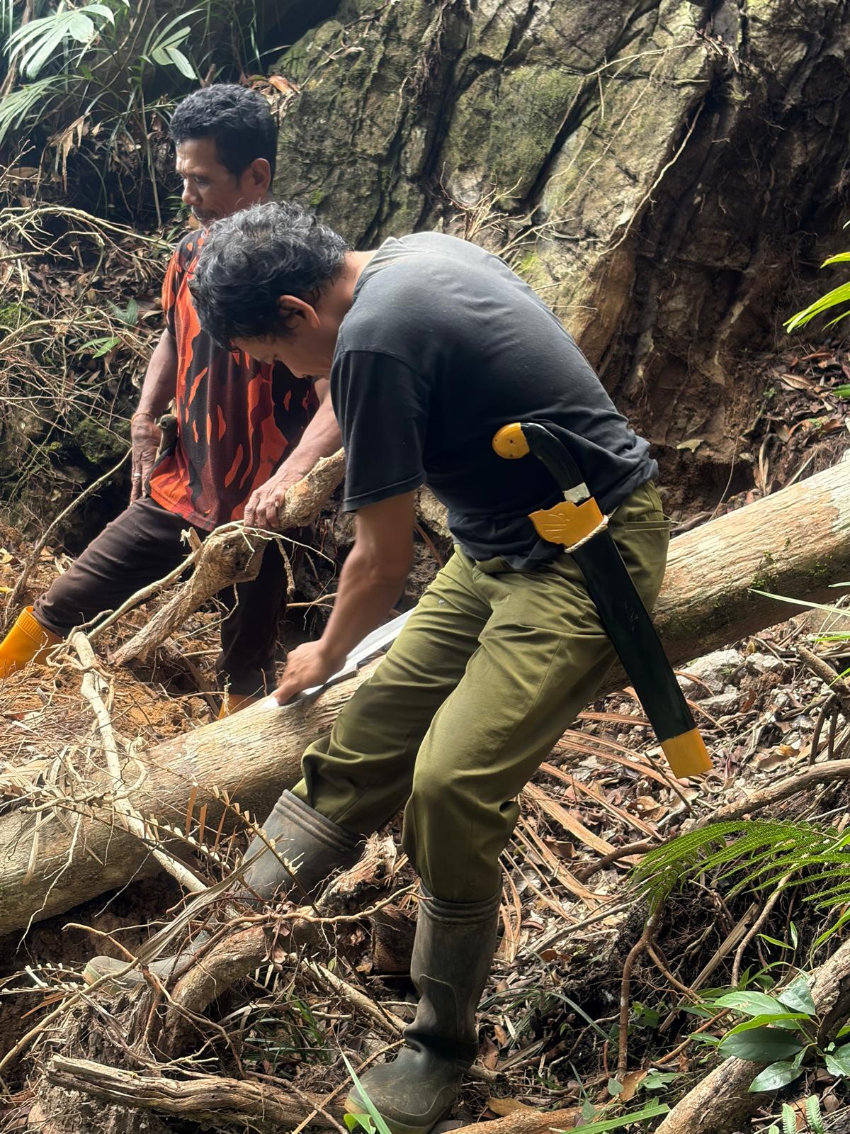
The route we took started on the hunting trail (S 1.749375, E 121.284250) just outside Tandoyondo. We travelled south-west from this hunting trail until it disappeared, and we were in the thick jungle. We continued south-west up a spur, guides cutting a trail on the same south-west bearing until it steepened dramatically. At this point the route became more of a scramble than a hike and, combined with cutting the new trail, made it a very difficult climb. It was very loose and a lot of care was needed to avoid sending huge rocks down on each other. The east face also has numerous cave systems, some large and impressive, and others with entrances that were hidden under the leaf litter, creating serious ankle-breaking hazards. Our progress was very slow up this face, sometimes requiring climbing without our packs to reduce our chance of falling, then setting up a fixed line and going back down for the packs before climbing back up the rope with them. The slow progress meant we were constantly at the mercy of leeches, wasps, and bees. There are many dead branches and trees that create very difficult and dangerous obstacles while climbing. They’re also great places for bee, wasp and ant nests. Keeping calm and composed when climbing difficult sections while you’re covered head to toe in leeches and being attacked by numerous insects is not easy. We reached the ridgeline around 7.30 pm, which meant we’d been climbing for over 12 hours and it was already dark. We set up our hammocks on the flatter ground of the ridge (S 1.766898, E 121.259331).
The following morning, we set off north-west towards the true summit point, which took us about four hours to reach from our camp spot. The trekking was much easier here, although the guides still needed to cut a trail at times. The ridge is very broad and not that steep. The forest was beautiful here and there are wild anoa living in this area. There are a few spots along the ridge where you get spectacular views of the steep jungle back down into the valley below. The summit point needed careful navigation to find.
We decided to take a direct route back down to Tandoyondo, as the terrain on the map looked similar to what we had climbed up and would save us retracing our steps for four hours back to the camp spot before we descended. In hindsight, this was a mistake. We should have retraced our steps, as we had already cut a trail. The direct route down we took was much more difficult than the ascent and quite dangerous in places. Before we realised our mistake, we were already committed. It was even slower in progress than the ascent, with steeper and looser ground. Many of the decent-sized trees we could potentially abseil from were rotten, and we had a few close calls dislodging dead trees just by using them for balance. We only covered about half the distance we had hoped to before dark and made camp in a less-than-ideal spot surrounded by precariously balanced dead trees and spiky rattan. During the night we saw several small green vipers too.
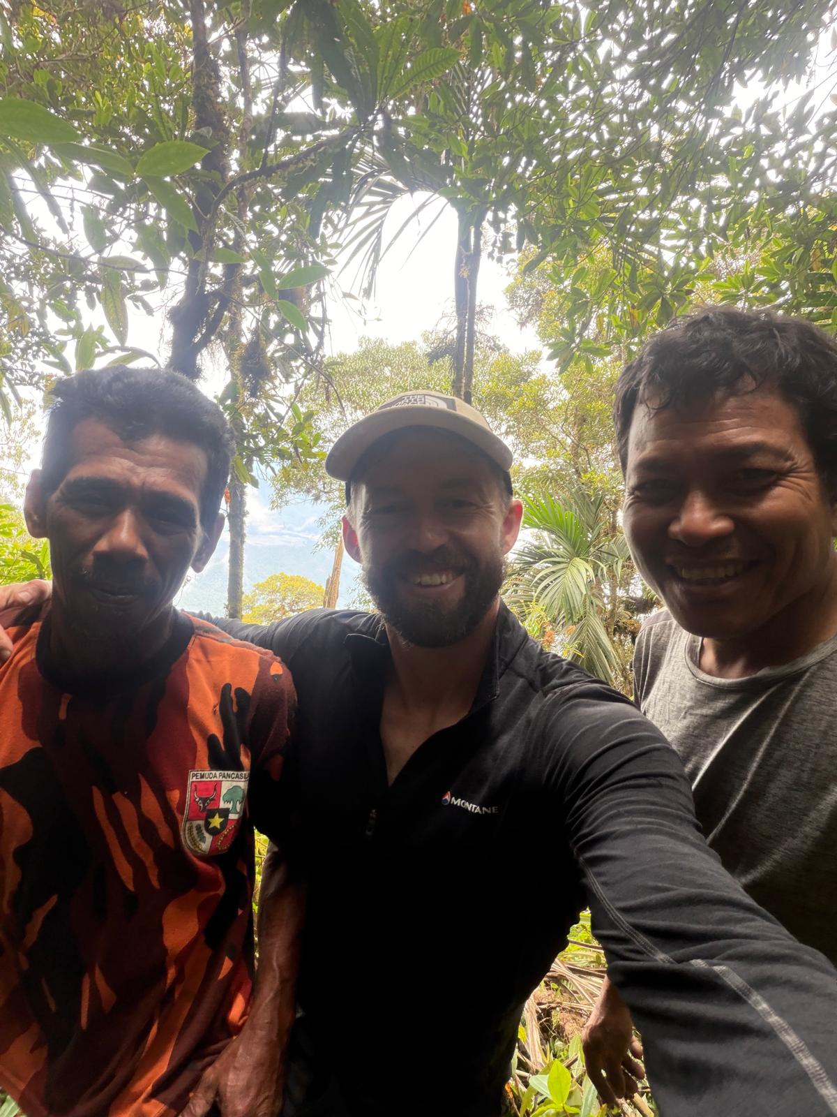
The next morning, thoroughly exhausted and dehydrated, we finished the last few hours of trekking until we reached Tandoyondo. Although only three days in total, it was one of the hardest few days of trekking I’ve ever had and some of the most dangerous. Amos and Anjaran were incredible, and it really couldn’t have been done without them. I was introduced to them by Suriya Pati, who lives in Malino, a small village on the other side of Masamba. I met Suriya by chance and stayed at his house for a week with his family before this trip. He also made the first attempt with me along the north ridgeline.
Local guides: Amos and Anjaran. Contact Suriya Pati +62 821 93580048