
Facts
- Elevation: 730 m (2,395 ft)
- Prominence: 328 m
- Peak category:
 Spesial
 - Region:
 Peninsular Malaysia
 - Malaysian state: Selangor
- Range: Banjaran Titiwangsa / Main Range
- Coordinates: 3.3245, 101.6271
- Rating:

 (3 votes) Add your rating
 Loading...
Photos
")
")
")
")
")
")
")
")
")
")
")
")
")
")
")
")
")
")
")
")
Bagging It!
Bukit Unyang is one of the most significant hill summits in the forest corridor connecting the Banjaran Titiwangsa or Main Range to the Klang Valley. It is the slightly elder (or taller) sibling to Bukit Lagong (572m) which really is part of Kuala Lumpur. Although it is not a high mountain, the view towards KL from the trail is absolutely stunning and in the right weather conditions probably the finest view to Kuala Lumpur from up high.
The trail starts at the friendly Kanching Eco Forest Park (100m) which lies on the fringes of Kuala Lumpur near Rawang. This place is open daily from 8am until 5pm so 8am is the earliest you can start the hike. There’s a car park and food stalls, all of which get busy even on weekdays. Most visitors are here to see the pleasant waterfalls (132m) and have their food stolen by monkeys, and few know of the trail beyond the waterfalls which leads up Bukit Unyang.
Once up the cement steps, over the little cement bridge (192m) over Sungai Chul Tinggi and past the very scenic jungle waterfall (199m) on the left of the trail, a right turn (209m) up into the forest is required. This is not signposted as it is only for those with guides and forestry permits.
After a total of around 1 hour and 15 minutes you will be at the first, and best, of two similar viewpoints towards Kuala Lumpur (526m). Looking towards the skyscrapers in the distance, the scene is perfectly framed with forest either side of you and the striking vertical limestone cliffs of Bukit Takun at Templer Park. This is the spot to enjoy, and the earlier you are here the less haze is likely over the city.
The trail continues up to another similar viewpoint (654m), and then there is some more challenging vegetation to deal with such as low bamboo. It feels as though you may be reaching the summit but it turns out to be a false summit and a short descent is needed into rather thick vegetation, but with a view (714m) over Rawang and to Bukit Lagong. After a short descent to a col (682m), the slightly overgrown trail leads up to the true summit.
A collapsed and overgrown beirut lies just beyond the highest point, along with some summit signs left by various hiking clubs. There may be a partial view from here depending on the state of the vegetation, but the view is unlikely to complete with the one halfway up towards Kuala Lumpur. To reach the summit from the first KL viewpoint takes about 1 hour and 15 minutes meaning a total of 2 hours and 30 minutes not including breaks.
To descend takes less than 2 hours and you need to be back down well before 5pm as this is when the entrance and car park closes.
Bagging information by Dan Quinn (August 2024)
Trail Map

For a high quality PDF version of this and other trail maps, please download from our Trail Maps page.
Practicalities
- Getting there: For Malaysian domestic flights and flights within Southeast Asia, for example to Kuala Lumpur, we recommend Baolau. The trailhead at Taman Eko Rimba Kanching in Rawang is easily reached from Kuala Lumpur by taxi or Grab.
- Guides and GPS Tracks: Want a PDF version for your phone? Looking for a guide? Need GPS tracks and waypoints? Bukit Unyang information pack can be downloaded here.
- Permits: You can register and pay for an e-Permit online from the Forestry Department of Malaysia website though you will need an official guide with you.
- Water sources: Available as far as the very scenic jungle waterfall (199m), though given this is a short hike it is much better to take sufficient supplies with you from the car park where there are shops and food stalls.
- We recommend Safety Wing as travel insurance for overseas travellers and tourists hiking up to elevations not exceeding 4500 metres.
Local Average Monthly Rainfall 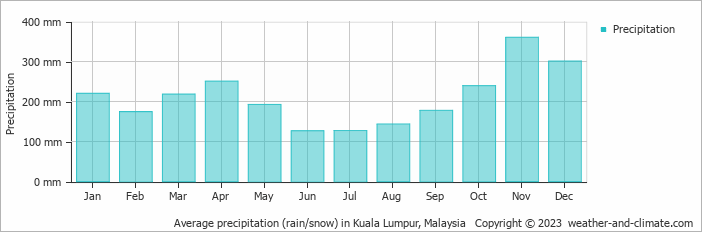
Location
Click on the blue arrow ![]() (top right) to see your current location on the map
(top right) to see your current location on the map
When I saw an image of the view to KL from Bukit Unyang, I knew I had to visit this hill. It didn’t disappoint, and was a good warm-up for Gunung Rajah the following day. It’s a really scenic area, especially round Templer. To have this on the doorstep of Kuala Lumpur is really quite something.