Sumatera Selatan

Patah

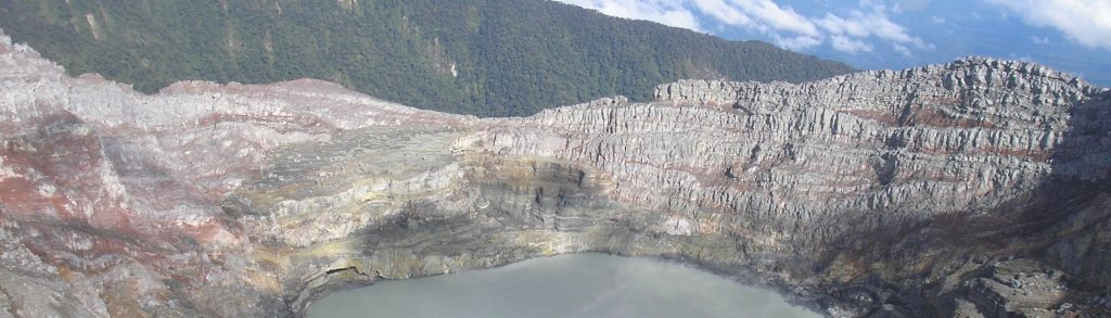
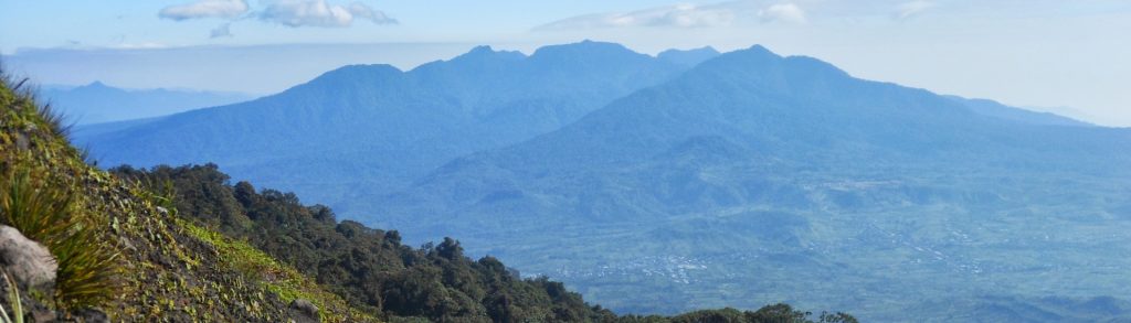
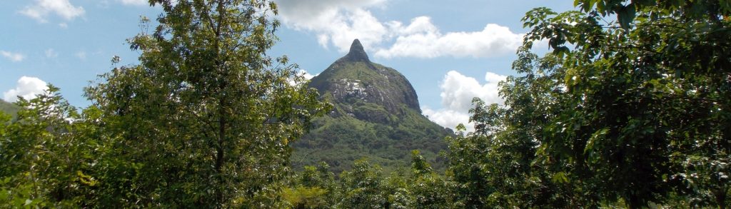
Facts Elevation: 2,850 m (9,350 ft) Prominence: 1,635 m Ribu category: Tinggi Sedang Province: Sumatera Selatan (South Sumatra) Google Earth: kml Rating: Other names: none Photos Bagging It! Volcanic activity was reported in 1989. It’s a huge range and a handful of local groups have conducted expeditions here. It is unclear if any have been […]

Patah Read More »

Dempo

Looming over the Pasemah Highlands, Gunung Dempo is the highest peak in South Sumatra Province, and one of the dominant mountains of the southern Bukit Barisan Range. The climb to the summit is tough, but relatively straightforward; there are good water-sources along the trail, and if you arrange motor transport to and from the true trailhead it would be possible to bag the peak in one long day.

Dempo Read More »

Gumai

Facts Elevation: 1,796 m (5,892 ft) Prominence: 1,057 m Ribu category: Kurang Tinggi Province: Sumatera Selatan (South Sumatra) Google Earth: kml Rating: Other names: Gumay, Bukit Tuguk Bagging It! We do not know much about this peak but a local contact in Pagar Alam traversed the range recently and got a GPS reading of 1796m

Gumai Read More »

Pasu

Facts Elevation: 2,078 m (6,818 ft) Prominence: 983 m Ribu category: Spesial Province: Sumatera Selatan (South Sumatra) Google Earth: kml Rating: Other names: Labelled ‘Bukit Condong’ on the Bakosurtanal map. Photos Bagging It! This range is clearly visible from Bukit Kaba and has at least two peaks over 2,000m in elevation. The more southerly one

Pasu Read More »

Bukit Jempol

Bukit Jempol is one of the best-known landmarks in Sumatra due to its steep and impressive summit cliffs and its location close to the town of Lahat. It is so well known and striking, in fact, that it has at least three names: Bukit Jempol (‘thumb hill’), Bukit Telunjuk (‘index finger hill’), and Bukit Serelo. The trek to the base of the summit cliffs is fairly easy and it makes a pleasant half-day hike.

Bukit Jempol Read More »

Scroll to Top