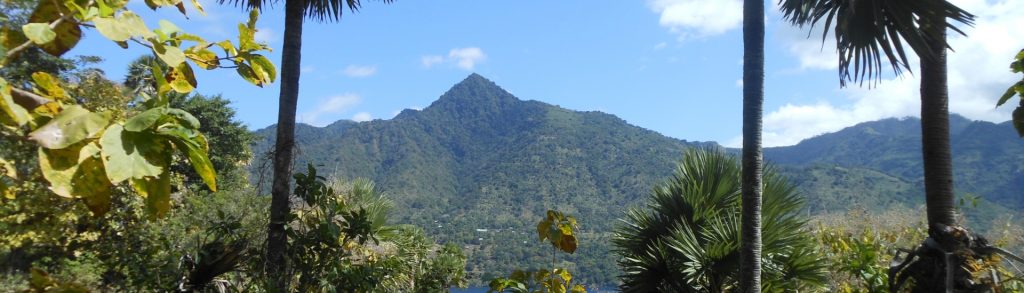
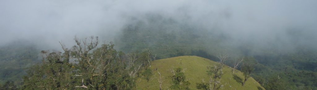
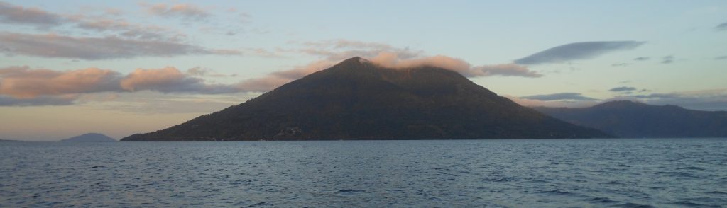
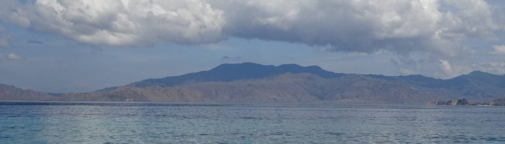
Nusa Tenggara Timur

Keli Lepembusu

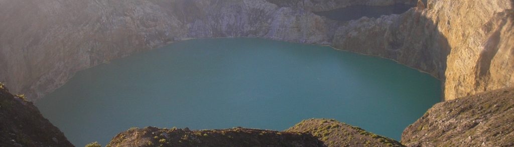
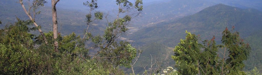
Facts Elevation: 1,754 m (5,755 ft) Prominence: 1,250 m Ribu category: Kurang Tinggi Province: Nusa Tenggara Timur Google Earth: kml Rating: Other names: none Photos Bagging It! Keli Lepembusu is a few metres higher than nearby Gunung Kelimutu, whose famous three crater lakes of different colours are one of the main tourist attraction on Flores. […]

Keli Lepembusu Read More »

Iya

When people think of volcano attractions in Flores, they probably think of the Kelimutu lakes and perhaps Gunung Egon near Maumere. But perhaps the most impressive volcano on the island is Iya, a small peak at the end of a short peninsula just 15 minutes south by motorbike from the large town of Ende. Whereas Kelimutu has a carpark near the top and cement walkway to the rim, getting to Iya is a little harder and more dangerous than you would think just from looking at it on a map.

Iya Read More »

Ebulobo

If you’re travelling across Flores, the relatively easy hike to the summit of Ebulobo is an excellent reason to stop for a night between Bajawa and Ende. It’s a diversion from the usual tourist trail and you’ll meet friendly villagers and explore a fascinating summit that is a jumble of huge rocks with lots of sulfurous action.

Ebulobo Read More »

Mutis

Facts Elevation: 2,417 m (7,930 ft) Prominence: 1,970 m Ribu category: Tinggi Sedang Province: Nusa Tenggara Timur Google Earth: kml Rating: Other names: Nuaf Nefomasi Photos Bagging It! Gunung Mutis is the highest peak in the East Nusa Tenggara province. It is situated within a surprising alpine landscape and offers views from Timor Leste to

Mutis Read More »

Tuntuli

Facts Elevation: 959 m (3,146 ft) Prominence: 743 m Ribu category: Spesial Province: Nusa Tenggara Timur Google Earth: kml Rating: Other names: ‘Woto Tuntuli’ on the Bakosurtanal map. Photos Bagging It! This mountain is located on the north eastern corner of Pantar island. The is a village at the base of the mountain and a

Tuntuli Read More »

Ili Uyelewun

Ili Ujolewung is one of the best of the ‘less high’ mountains in Indonesia. Although infrequently climbed, the grassy terrain allows spectacular views across Lembata island, including the smoking volcano, Ili Ape (Lewotolo), to the west. The mountain is no longer active, but an ancient, shallow crater still remains clearly visible at the top. There is also a very old vegetable garden which is passed by the trail, apparently a historical place of retreat during wartime or to avoid capture by slave traders.

Ili Uyelewun Read More »

Mules (Poco Kepi)

Facts Elevation :549 m (1,801 ft) Prominence: 549 m Ribu category: Spesial Province: Nusa Tenggara Timur Google Earth: kml Rating: Other names: Molas Photos Bagging It! The small island of Mules is situated just off the southern coast of Flores. According to the Bakosurtanal map, the highest peak is called Poco Kepi and is as

Mules (Poco Kepi) Read More »

Ara

Facts Elevation: 824 m (2,703 ft) Prominence: 824 m Ribu category: Spesial Province: Nusa Tenggara Timur Google Earth: kml Rating: Other names: none Photos Bagging It! Gunung Ara is the highest point on Komodo Island, which like neighbouring Rinca Island lies between the larger islands of Sumbawa and Flores and is famously home to the

Ara Read More »

Scroll to Top