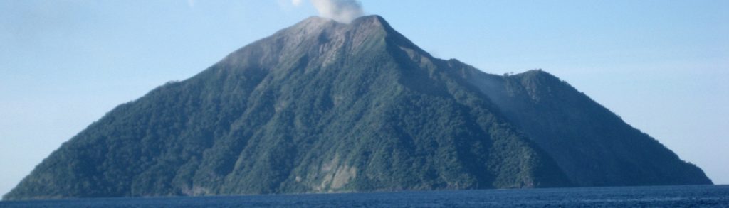
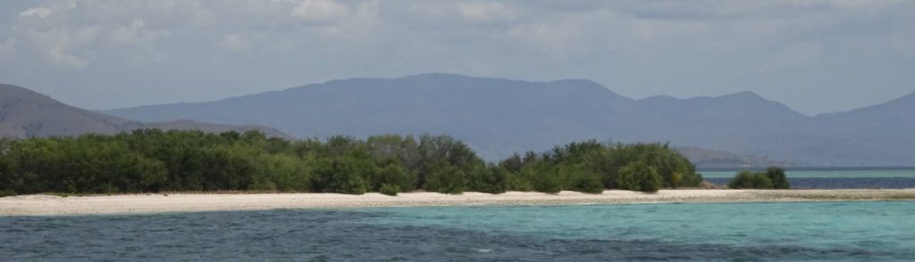
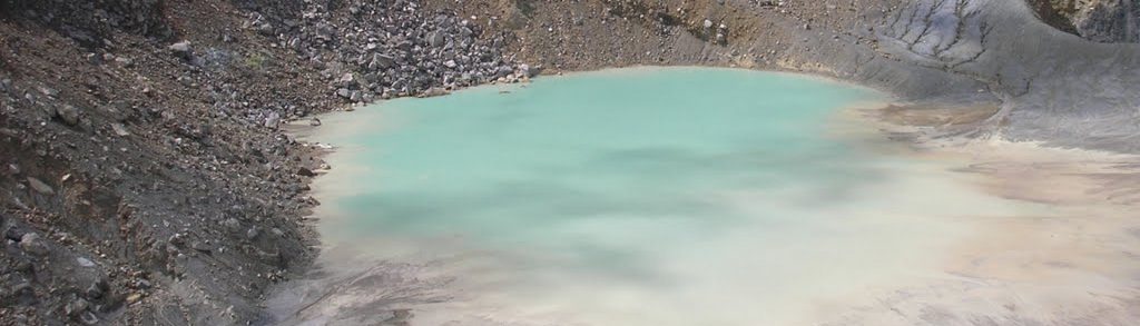
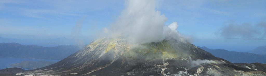
Nusa Tenggara Timur

Ili Mandiri

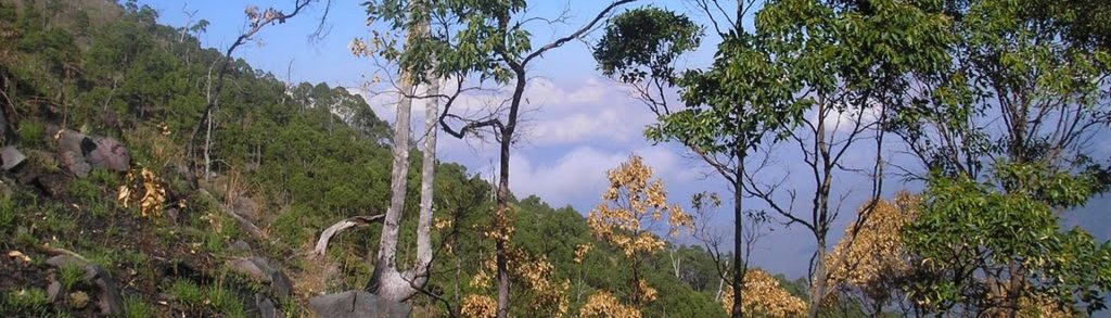
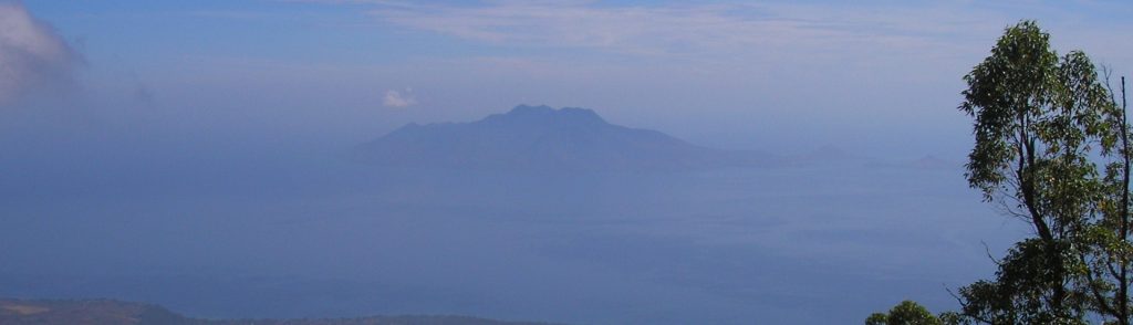
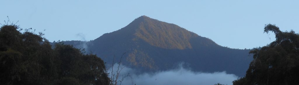
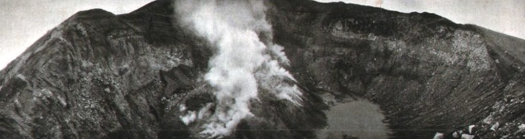
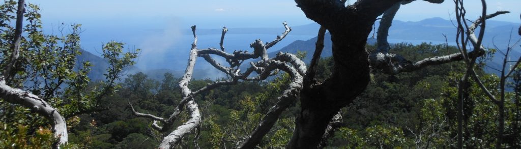
Facts Elevation: 1,484 m (4,869 ft) Prominence: 1,401 m Ribu category: Kurang Tinggi Province: Nusa Tenggara Timur Google Earth: kml Rating: Other names: none Photos Bagging It! Ili Mandiri is well-known in the area, providing the delightful backdrop to the port town of Larantuka, but it is not often climbed. Due to how infrequently they […]

Ili Mandiri Read More »

Batu Tara

Facts Elevation: 748 m (2,454 ft) Prominence: 748 m Ribu category: Spesial Province: Nusa Tenggara Timur Google Earth: kml Rating: Other names: none Eruptions: 1852, 2006-2014 Photos Bagging It! The remote Komba island consists of an active volcano, Batu Tara, whose first known eruption was in 1852. In November 2010, I sailed on a Bugis

Batu Tara Read More »

Doro Ora

Facts Elevation: 735 m (2,411 ft) Prominence: 735 m Ribu category: Spesial Province: Nusa Tenggara Timur Google Earth: kml Rating: Other names: none Photos Bagging It! Doro Ora is the highest point of Rinca island (pronounced ‘Rintja’) – one of the two large islands in Komodo National Park. Closer than Komodo to the port town

Doro Ora Read More »

Egon

Facts Elevation: 1,708 m (5,604 ft) Prominence: 1,453 m Ribu category: Kurang Tinggi Province: Nusa Tenggara Timur Google Earth: kml Rating: Other names: Namang Eruptions: 1888-92, 2004, 2008 Photos Bagging It! Egon is a very active volcano and is one of the most popular hikes on Flores. The last major eruption was in 2008 and

Egon Read More »

Lewotolo

Facts Elevation: 1,455 m (4,774 ft) Prominence: 1,421 m Ribu category: Kurang Tinggi Province: Nusa Tenggara Timur Google Earth: kml Rating: Other names: Ile Ape, Lewotolok Eruptions: 1660, 1819, 1849, 1852, 1864, 1899, 1920, 1951, 2020, 2022-23 Photos Bagging It! Gunung Lewotolo (AKA Ile Api) is by far the best-known peak on the island of

Lewotolo Read More »

Ili Boleng

You get your first view of this volcano as the ferry from Larantuka rounds the southwest tip of Adonara – there it is, a fine 1,661m cone looming over this little-visited island just east of Flores. The peak makes an excellent day hike, and the views over the surrounding small islands are fantastic, writes Tim Hannigan.

Ili Boleng Read More »

Ili Labalekang

Facts Elevation: 1,621 m (5,318 ft) Prominence: 1,621 m Ribu category: Kurang Tinggi Province: Nusa Tenggara Timur Google Earth: kml Rating: Other names: Ililabalekan Photos Bagging It! This mountain is the highest peak on the island of Lembata but it is very rarely climbed, even by local people. Its name is almost definitely a different

Ili Labalekang Read More »

Pulau Besar

Facts Elevation: 913 m (2,995 ft) Prominence: 913 m Ribu category: Spesial Province: Nusa Tenggara Timur Google Earth: kml Rating: Other names: Wolong Ladauneng Photos Bagging It! This peak is the highest point of a large island in Maumere Bay. The Bakosurtanal map lists the name of the summit at Wolong Ladauneng with a height

Pulau Besar Read More »

Poco Ngandonalu

Facts Elevation: 2,367 m (7,766 ft) Prominence: 2,367 m Ribu category: Tinggi Sedang Province: Nusa Tenggara Timur Google Earth: kml Rating: Other names: Poco Pajung Photos Bagging It! This Ribu is the highest peak on the island of Flores (closely followed by Gunung Inerie). Many other sites incorrectly list Poco Mandasawu as the highest but

Poco Ngandonalu Read More »

Lewotobi

This spectacular volcano is a ‘husband and wife couple’ comprised of Lewotobi Perempuan (‘female’, 1703 metres) and Lewotobi Laki-laki (‘male’, 1584 metres). The peaks are often active – most eruptions have been from the Laki-laki vent, most recently in 2003, but seismic activity and minor volcanic emissions are common from both.

Lewotobi Read More »

Scroll to Top