Leuser (“Tanpa Nama”)
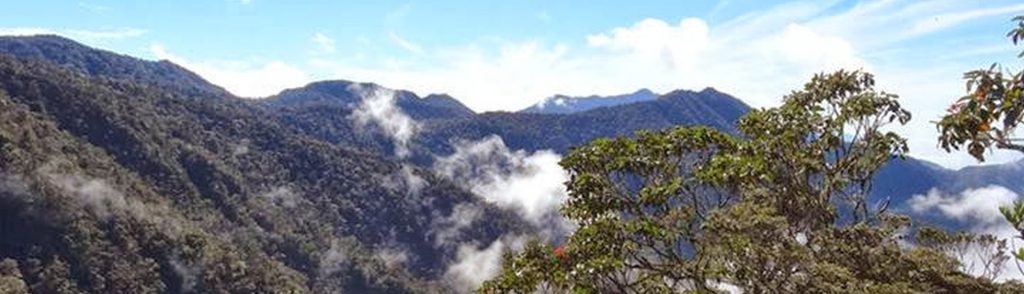
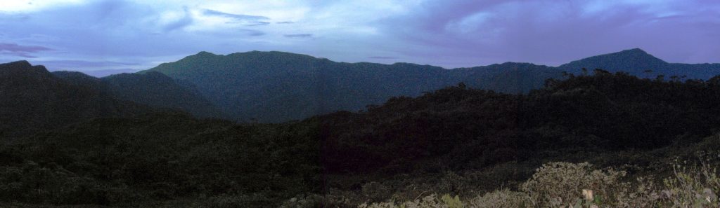
Facts Elevation: 3,466 m (11,371 ft) Prominence: 2,940 m Ribu category: Sangat Tinggi Province: Nanggroe Aceh Darussalam Google Earth: kml Rating: Other names: none Photos Bagging It! The Gunung Leuser National Park, proclaimed in 1980, lies within the provinces of North Sumatera and Aceh. The Park is split into eastern and western regions by the […]
Leuser (“Tanpa Nama”) Read More »