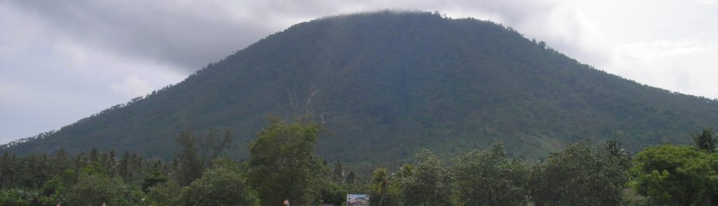
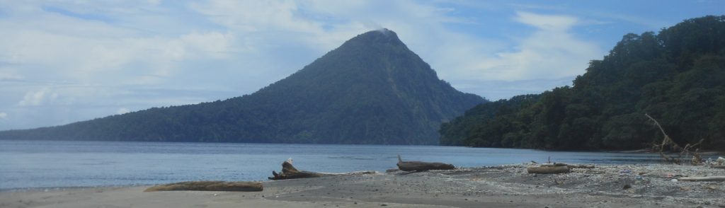
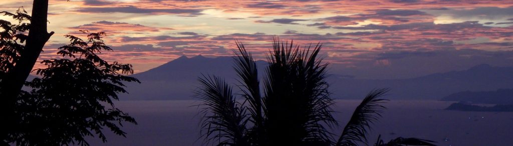
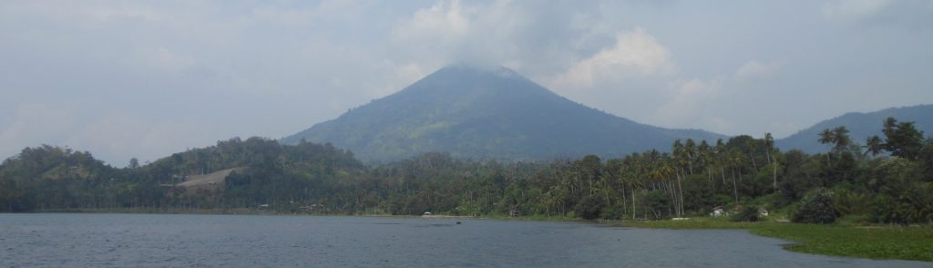
Lampung

Pugung

Facts Elevation: 1,964 m (6,444 ft) Prominence: 990 m Ribu category: Spesial Province: Lampung Google Earth: kml Rating: Other names: none Photos Bagging It! Unknown at present. According to the Bakosurtanal map, the summit features the triangulation pillar P.76. Practicalities Getting there: There are regular buses from Bandar Lampung (Rajabasa terminal) to Liwa (where you

Pugung Read More »

Rajabasa

RAJABASA

Gunung Rajabasa is the southernmost Ribu on the island of Sumatra and, as such, is easily accessible from Jakarta in a weekend. Because of its low height it is unfairly overlooked by many hiking clubs, but this is a positive thing because it means that the forest is still full of wildlife and there is little litter or noise or trail erosion here! Not yet anyway, so enjoy it while you can!

Rajabasa Read More »

Pesawaran (Ratai)

The large, forested Pesawaran – Ratai mountain range lies to the southwest of Bandar Lampung yet it is very rarely climbed by hikers – our trip here was the first since 2007! From the summit ridge of the highest peak Ratai there are excellent views to surrounding forest and the Lampung coastline and you will almost certainly hear the calls of siamangs who live in this remarkably wild area.

Pesawaran (Ratai) Read More »

Sebesi

This 844m high island lies in the Sunda Strait just 12km north of the Krakatau islands and is usually accessed by boat from Canti near Kalianda, Lampung. It’s a really peaceful environment and quite popular with visitors from the Sumatran mainland. Despite its calm atmosphere today, the island was devastated by the Krakatau eruption and it is hard to find a tree on the island which predates the catastrophic events of 1883. It’s a great long weekend break from Jakarta.

Sebesi Read More »

Pesagi

This mountain is the highest in Lampung and offers some of the most challenging yet rewarding hiking in the province. Unlike most peaks in this area there are actually some wonderful open views on the higher slopes of the mountain and both flora and fauna remain relatively undisturbed. Lying just under an hour’s drive from Danau Ranau it makes a great long weekend trip from either Palembang or Bandar Lampung.

Pesagi Read More »

Tebak

Facts Elevation: 2,115 m (6,939 ft) Prominence: 1,150 m Ribu category: Tinggi Sedang Province: Lampung Google Earth: kml Rating: Other names: Tangkit Tebak, known locally as Gunung Abung Photos Bagging It! The strangely-named Gunung Tebak (‘tebak’ means ‘guess’) used to be one of the most mysterious mountains in Sumatra, with few trek reports to be

Tebak Read More »

Rakata

Facts Elevation: 813 m (2,667 ft) Prominence: 813 m Ribu category: Spesial Province: Lampung Google Earth: kml Rating: Other names: none Photos Bagging It! Rakata is the highest of the Krakatau islands in the Sunda Strait between Java and Sumatra. It is the remnants of the only one of three volcanoes (Perboewatan, Danan and Rakata)

Rakata Read More »

Tanggamus

Facts Elevation: 2,102 m (6,896 ft) Prominence: 1,382 m Ribu category: Tinggi Sedang Province: Lampung Google Earth: kml Rating: Other names: none Photos Bagging It! Gunung Tanggamus dominates the landscape around Kota Agung on the beautiful, scenic western coast of Lampung. From Kota Agung it appears as a pyramid of jungle with broad lower slopes

Tanggamus Read More »

Scroll to Top